Area Overview for UB9 5DR
Photos of UB9 5DR
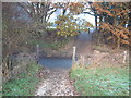
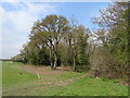


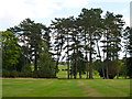
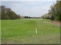
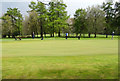
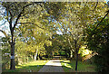
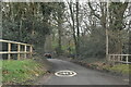
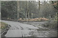

12 photos from this area
Area Information
Key information about the UB9 5DR including its size, population, and administrative classification.
- Area Type
- Postcode
- Area Size
- 34.9 hectares
- Population
- 1227
- Population Density
- 286 people/km²
House Prices in UB9 5DR
16
Properties
£2,159,444
Average Sold Price
£1,300,000
Lowest Price
£2,900,000
Highest Price
Showing 16 properties
| Address | Type | Beds | Baths | Last Sale Price | Last Sale Date | |
|---|---|---|---|---|---|---|
| Beverley, Over The Misbourne, Denham, UB9 5DR | Detached | 6 | 6 | £2,900,000 | Feb 2025 | |
| Misbourne House, Over The Misbourne, Gerrards Cross, UB9 5DR | Detached | 7 | 3 | £2,750,000 | Sep 2023 | |
| Lynwood, Over The Misbourne, Gerrards Cross, UB9 5DR | Detached | 6 | 3 | £2,225,000 | Nov 2019 | |
| Slade Oak, Over The Misbourne, Gerrards Cross, UB9 5DR | Detached | 7 | - | £1,625,000 | Feb 2019 | |
| Oak Tree House, Over The Misbourne, Gerrards Cross, UB9 5DR | house | - | - | £1,625,000 | Feb 2019 | |
| Denham Lodge, Over The Misbourne, Gerrards Cross, UB9 5DR | Detached | 6 | 4 | £2,300,000 | Mar 2018 | |
| Greenwoods, Over The Misbourne, Denham, UB9 5DR | Detached | 7 | 8 | £2,650,000 | Jun 2016 | |
| Silver Springs, Over The Misbourne, Gerrards Cross, UB9 5DR | house | 6 | - | £2,060,000 | Mar 2011 | |
| Oakridge, Over The Misbourne, Gerrards Cross, UB9 5DR | house | 5 | - | £1,300,000 | Jan 2010 | |
| Mill House, Over The Misbourne, Gerrards Cross, UB9 5DR | Detached | 6 | 7 | - | - |
Page 1 of 2
Energy Efficiency in UB9 5DR
Amenities
Schools
| Rank | School | Type | Entry gender | Ages |
|---|
Explore more schools in this area
Go to Schools tabDemographics
Household Size
Two person
most common
Accommodation Type
Houses
most common
Tenure
83
majority
Ethnic Group
White
most common
Religion
N/A
most common
Household Composition
N/A
most common
Age
47
median
Adults (30-64 years)
most common
Household Deprivation
N/A
with no deprivation
NS-SEC
40
in Lower managerial occupations
Explore more demographic insights in this area
Go to Demographics tabPlanning
Planning Constraints
- Flood RiskPremium
- Ramsar Wetland SitesPremium
- Area of Outstanding Natural BeautyPremium
- Protected Nature ReservePremium
- Protected WoodlandPremium