Area Overview for TW20 9SQ
Photos of TW20 9SQ
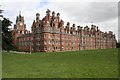
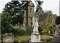
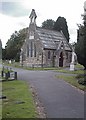
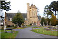
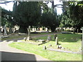

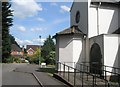
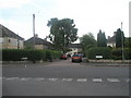
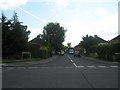
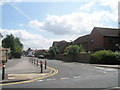
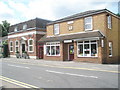
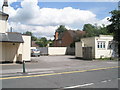
100 photos from this area
Area Information
Key information about the TW20 9SQ including its size, population, and administrative classification.
- Area Type
- Postcode
- Area Size
- 3.8 hectares
- Population
- 1409
- Population Density
- 1665 people/km²
House Prices in TW20 9SQ
31
Properties
£736,419
Average Sold Price
£181,000
Lowest Price
£1,140,000
Highest Price
Showing 31 properties
| Address | Type | Beds | Baths | Last Sale Price | Last Sale Date | |
|---|---|---|---|---|---|---|
| 40 Simons Walk, Englefield Green, TW20 9SQ | Detached | 4 | 2 | £997,270 | Aug 2023 | |
| 6 Simons Walk, Englefield Green, TW20 9SQ | Bungalow | 3 | 3 | £895,000 | Aug 2022 | |
| 24 Simons Walk, Englefield Green, TW20 9SQ | Retail | 4 | 2 | £1,050,000 | Mar 2022 | |
| 22 Simons Walk, Englefield Green, TW20 9SQ | house | - | - | £1,020,000 | Feb 2022 | |
| 48 Simons Walk, Englefield Green, TW20 9SQ | Bungalow | - | - | £795,000 | Sep 2021 | |
| 54 Simons Walk, Englefield Green, TW20 9SQ | house | - | - | £1,025,000 | Aug 2021 | |
| 32 Simons Walk, Englefield Green, TW20 9SQ | house | - | - | £700,000 | May 2020 | |
| 56 Simons Walk, Englefield Green, TW20 9SQ | Detached | 5 | 3 | £1,140,000 | Feb 2020 | |
| 28 Simons Walk, Englefield Green, TW20 9SQ | Detached | 4 | 1 | £706,100 | Aug 2018 | |
| 20 Simons Walk, Englefield Green, TW20 9SQ | Detached | 4 | 1 | £865,000 | Jun 2017 |
Page 1 of 4
Energy Efficiency in TW20 9SQ
Amenities
Schools
| Rank | School | Type | Entry gender | Ages |
|---|
Explore more schools in this area
Go to Schools tabDemographics
Household Size
Two person
most common
Accommodation Type
Houses
most common
Tenure
53
majority
Ethnic Group
White
most common
Religion
N/A
most common
Household Composition
N/A
most common
Age
22
median
Young Adults (15-29 years)
most common
Household Deprivation
N/A
with no deprivation
NS-SEC
22
in Lower managerial occupations
Explore more demographic insights in this area
Go to Demographics tabPlanning
Planning Constraints
- Flood RiskPremium
- Ramsar Wetland SitesPremium
- Area of Outstanding Natural BeautyPremium
- Protected Nature ReservePremium
- Protected WoodlandPremium