Area Overview for TW19 7RZ
Photos of TW19 7RZ
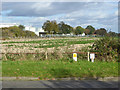
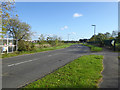
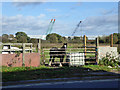
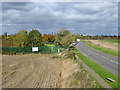
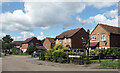
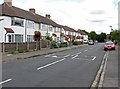
37 photos from this area
Area Information
Key information about the TW19 7RZ including its size, population, and administrative classification.
- Area Type
- Postcode
- Area Size
- 1.1 hectares
- Population
- 1978
- Population Density
- 6692 people/km²
House Prices in TW19 7RZ
40
Properties
£279,429
Average Sold Price
£68,000
Lowest Price
£410,000
Highest Price
Showing 40 properties
| Address | Type | Beds | Baths | Last Sale Price | Last Sale Date | |
|---|---|---|---|---|---|---|
| 123 Viola Avenue, Stanwell, TW19 7RZ | Terraced | 4 | 1 | £410,000 | Jan 2024 | |
| 127 Viola Avenue, Stanwell, TW19 7RZ | house | 3 | 1 | £363,000 | Aug 2023 | |
| 121 Viola Avenue, Stanwell, TW19 7RZ | house | - | - | £370,000 | Jul 2022 | |
| 109 Viola Avenue, Stanwell, TW19 7RZ | Semi-detached | 4 | - | £305,000 | Apr 2015 | |
| 97 Viola Avenue, Stanwell, TW19 7RZ | Semi-detached | 4 | - | £225,000 | Jun 2012 | |
| 133 Viola Avenue, Stanwell, TW19 7RZ | Terraced | - | - | £215,000 | Apr 2007 | |
| 107 Viola Avenue, Stanwell, TW19 7RZ | house | - | - | £68,000 | Oct 1997 | |
| 87 Viola Avenue, Stanwell, TW19 7RZ | house | - | - | - | - | |
| 91 Viola Avenue, Stanwell, TW19 7RZ | house | - | - | - | - | |
| 95 Viola Avenue, Stanwell, TW19 7RZ | house | - | - | - | - |
Page 1 of 4
Energy Efficiency in TW19 7RZ
Amenities
Schools
| Rank | School | Type | Entry gender | Ages |
|---|
Explore more schools in this area
Go to Schools tabDemographics
Household Size
Family (3-5 people)
most common
Accommodation Type
Houses
most common
Tenure
51
majority
Ethnic Group
White
most common
Religion
N/A
most common
Household Composition
N/A
most common
Age
47
median
Adults (30-64 years)
most common
Household Deprivation
N/A
with no deprivation
NS-SEC
27
in Lower managerial occupations
Explore more demographic insights in this area
Go to Demographics tabPlanning
Planning Constraints
- Flood RiskPremium
- Ramsar Wetland SitesPremium
- Area of Outstanding Natural BeautyPremium
- Protected Nature ReservePremium
- Protected WoodlandPremium