Area Overview for TW19 7PE
Photos of TW19 7PE
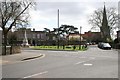
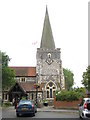
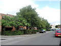
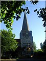
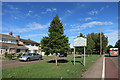
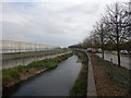
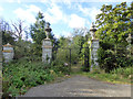
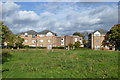
91 photos from this area
Area Information
Key information about the TW19 7PE including its size, population, and administrative classification.
- Area Type
- Postcode
- Area Size
- 5180 m²
- Population
- 1680
- Population Density
- 2796 people/km²
House Prices in TW19 7PE
9
Properties
£401,461
Average Sold Price
£153,000
Lowest Price
£595,000
Highest Price
Showing 9 properties
| Address | Type | Beds | Baths | Last Sale Price | Last Sale Date | |
|---|---|---|---|---|---|---|
| 98 Town Lane, Stanwell, TW19 7PE | Bungalow | 2 | 1 | £590,000 | Feb 2023 | |
| 96 Town Lane, Stanwell, TW19 7PE | Semi-detached | 4 | - | £545,000 | Jan 2022 | |
| 104 Town Lane, Stanwell, TW19 7PE | Detached | 4 | 2 | £595,000 | Jun 2016 | |
| 94 Town Lane, Stanwell, TW19 7PE | house | - | - | £395,000 | Oct 2015 | |
| 90 Town Lane, Stanwell, TW19 7PE | house | - | - | £371,225 | Jun 2006 | |
| 100 Town Lane, Stanwell, TW19 7PE | Semi-detached | 1 | 1 | £161,000 | Jun 1999 | |
| 92 Town Lane, Stanwell, TW19 7PE | Detached | - | - | £153,000 | Apr 1997 | |
| 102 Town Lane, Stanwell, TW19 7PE | Detached | - | - | - | - | |
| Annexe At, 104 Town Lane, Stanwell, TW19 7PE | Detached | - | - | - | - |
Energy Efficiency in TW19 7PE
Amenities
Schools
| Rank | School | Type | Entry gender | Ages |
|---|
Explore more schools in this area
Go to Schools tabDemographics
Household Size
Family (3-5 people)
most common
Accommodation Type
Houses
most common
Tenure
63
majority
Ethnic Group
White
most common
Religion
N/A
most common
Household Composition
N/A
most common
Age
47
median
Adults (30-64 years)
most common
Household Deprivation
N/A
with no deprivation
NS-SEC
29
in Lower managerial occupations
Explore more demographic insights in this area
Go to Demographics tabPlanning
Planning Constraints
- Flood RiskPremium
- Ramsar Wetland SitesPremium
- Area of Outstanding Natural BeautyPremium
- Protected Nature ReservePremium
- Protected WoodlandPremium