Area Overview for TW19 7JS
Photos of TW19 7JS
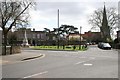
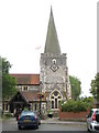
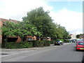
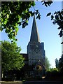
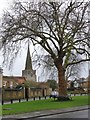
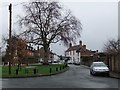
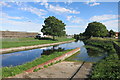
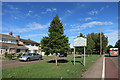
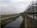
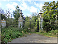
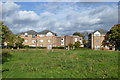
91 photos from this area
Area Information
Key information about the TW19 7JS including its size, population, and administrative classification.
- Area Type
- Postcode
- Area Size
- 2.1 hectares
- Population
- 1774
- Population Density
- 5218 people/km²
House Prices in TW19 7JS
46
Properties
£302,145
Average Sold Price
£102,500
Lowest Price
£692,000
Highest Price
Showing 46 properties
| Address | Type | Beds | Baths | Last Sale Price | Last Sale Date | |
|---|---|---|---|---|---|---|
| 24 High Street, Stanwell, TW19 7JS | Terraced | 2 | 1 | £385,000 | Sep 2024 | |
| 6, Bakers Court, 20 High Street, Stanwell, TW19 7JS | Semi-detached | 2 | - | £345,000 | Jan 2022 | |
| 32 High Street, Stanwell, TW19 7JS | Detached | 4 | 2 | £692,000 | Nov 2021 | |
| 30A High Street, Stanwell, TW19 7JS | house | - | - | £388,000 | Apr 2021 | |
| 28 High Street, Stanwell, TW19 7JS | Terraced | 3 | 1 | £350,000 | Dec 2020 | |
| 26 High Street, Stanwell, TW19 7JS | Terraced | 2 | - | £212,500 | Feb 2014 | |
| 46 High Street, Stanwell, TW19 7JS | Terraced | 2 | 1 | £201,000 | Jan 2011 | |
| 22A High Street, Stanwell, TW19 7JS | house | - | - | £176,950 | Mar 2007 | |
| 22 High Street, Stanwell, TW19 7JS | Terraced | - | - | £168,500 | Sep 2003 | |
| Dunmore Cottage, 38 High Street, Stanwell, TW19 7JS | Semi-detached | - | - | £102,500 | Aug 1998 |
Page 1 of 5
Energy Efficiency in TW19 7JS
Amenities
Schools
| Rank | School | Type | Entry gender | Ages |
|---|
Explore more schools in this area
Go to Schools tabDemographics
Household Size
One person
most common
Accommodation Type
Flats
most common
Tenure
37
majority
Ethnic Group
White
most common
Religion
N/A
most common
Household Composition
N/A
most common
Age
47
median
Adults (30-64 years)
most common
Household Deprivation
N/A
with no deprivation
NS-SEC
23
in Lower managerial occupations
Explore more demographic insights in this area
Go to Demographics tabPlanning
Planning Constraints
- Flood RiskPremium
- Ramsar Wetland SitesPremium
- Area of Outstanding Natural BeautyPremium
- Protected Nature ReservePremium
- Protected WoodlandPremium