Area Overview for TN38 0TB
Photos of TN38 0TB
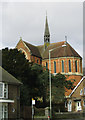
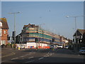
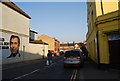
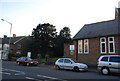
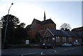
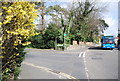
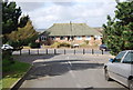
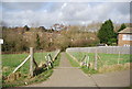
100 photos from this area
Area Information
Key information about the TN38 0TB including its size, population, and administrative classification.
- Area Type
- Postcode
- Area Size
- 1.6 hectares
- Population
- 1732
- Population Density
- 3105 people/km²
House Prices in TN38 0TB
69
Properties
£363,445
Average Sold Price
£46,000
Lowest Price
£715,000
Highest Price
Showing 69 properties
| Address | Type | Beds | Baths | Last Sale Price | Last Sale Date | |
|---|---|---|---|---|---|---|
| 31 Sedlescombe Road South, St Leonards On Sea, TN38 0TB | house | - | - | £615,000 | Sep 2021 | |
| 36 Sedlescombe Road South, St Leonards On Sea, TN38 0TB | Detached | - | - | £715,000 | Jun 2021 | |
| 40G Sedlescombe Road South, St Leonards On Sea, TN38 0TB | Detached | 3 | 2 | £335,000 | Aug 2020 | |
| 44 Sedlescombe Road South, St Leonards On Sea, TN38 0TB | Semi-detached | 6 | 2 | £450,000 | Jul 2019 | |
| 27 Sedlescombe Road South, St Leonards On Sea, TN38 0TB | Semi-detached | 8 | 3 | £490,000 | Dec 2018 | |
| 23A Sedlescombe Road South, St Leonards On Sea, TN38 0TB | Flat | - | - | £98,950 | Sep 2018 | |
| 35 Sedlescombe Road South, St Leonards On Sea, TN38 0TB | house | - | - | £230,000 | May 2018 | |
| Asd Unique Services Llp, 43 Sedlescombe Road South, St Leonards On Sea, TN38 0TB | house | - | - | £490,000 | Nov 2017 | |
| 41 Sedlescombe Road South, St Leonards On Sea, TN38 0TB | Semi-detached | 7 | 2 | £482,500 | Nov 2016 | |
| 47 Sedlescombe Road South, St Leonards On Sea, TN38 0TB | house | - | - | £339,278 | Jul 2014 |
Page 1 of 7
Energy Efficiency in TN38 0TB
Amenities
Schools
| Rank | School | Type | Entry gender | Ages |
|---|
Explore more schools in this area
Go to Schools tabDemographics
Household Size
One person
most common
Accommodation Type
Houses
most common
Tenure
53
majority
Ethnic Group
White
most common
Religion
N/A
most common
Household Composition
N/A
most common
Age
47
median
Adults (30-64 years)
most common
Household Deprivation
N/A
with no deprivation
NS-SEC
30
in Lower managerial occupations
Explore more demographic insights in this area
Go to Demographics tabPlanning
Planning Constraints
- Flood RiskPremium
- Ramsar Wetland SitesPremium
- Area of Outstanding Natural BeautyPremium
- Protected Nature ReservePremium
- Protected WoodlandPremium