Area Overview for TN38 0TA
Photos of TN38 0TA

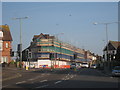

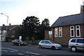

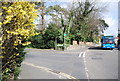
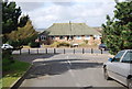
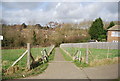
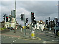
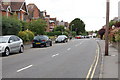
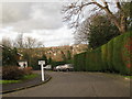
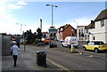
100 photos from this area
Area Information
Key information about the TN38 0TA including its size, population, and administrative classification.
- Area Type
- Postcode
- Area Size
- 1.9 hectares
- Population
- 1896
- Population Density
- 3143 people/km²
House Prices in TN38 0TA
36
Properties
£185,375
Average Sold Price
£65,000
Lowest Price
£340,000
Highest Price
Showing 36 properties
| Address | Type | Beds | Baths | Last Sale Price | Last Sale Date | |
|---|---|---|---|---|---|---|
| 7 Sedlescombe Road South, St Leonards On Sea, TN38 0TA | Semi-detached | - | - | £270,000 | Apr 2023 | |
| 5A Sedlescombe Road South, St Leonards On Sea, TN38 0TA | Flat | - | - | £93,000 | Oct 2020 | |
| 9 Sedlescombe Road South, St Leonards On Sea, TN38 0TA | Detached | 4 | 2 | £340,000 | Mar 2020 | |
| 15 Sedlescombe Road South, St Leonards On Sea, TN38 0TA | Semi-detached | - | - | £275,000 | Feb 2011 | |
| 20 Sedlescombe Road South, St Leonards On Sea, TN38 0TA | Detached | - | - | £250,000 | Aug 2005 | |
| 22 Sedlescombe Road South, St Leonards On Sea, TN38 0TA | house | 6 | 1 | £105,000 | Jun 1997 | |
| 28 Sedlescombe Road South, St Leonards On Sea, TN38 0TA | Semi-detached | - | - | £85,000 | Feb 1996 | |
| 16 Sedlescombe Road South, St Leonards On Sea, TN38 0TA | house | 5 | - | £65,000 | Nov 1995 | |
| 14 Sedlescombe Road South, St Leonards On Sea, TN38 0TA | Semi-detached | 6 | 2 | - | - | |
| Flat 2, 7 Sedlescombe Road South, St Leonards On Sea, TN38 0TA | Flat | - | - | - | - |
Page 1 of 4
Energy Efficiency in TN38 0TA
Amenities
Schools
| Rank | School | Type | Entry gender | Ages |
|---|
Explore more schools in this area
Go to Schools tabDemographics
Household Size
Two person
most common
Accommodation Type
Houses
most common
Tenure
68
majority
Ethnic Group
White
most common
Religion
N/A
most common
Household Composition
N/A
most common
Age
47
median
Adults (30-64 years)
most common
Household Deprivation
N/A
with no deprivation
NS-SEC
32
in Lower managerial occupations
Explore more demographic insights in this area
Go to Demographics tabPlanning
Planning Constraints
- Flood RiskPremium
- Ramsar Wetland SitesPremium
- Area of Outstanding Natural BeautyPremium
- Protected Nature ReservePremium
- Protected WoodlandPremium