Area Overview for TN34 1TJ
Photos of TN34 1TJ

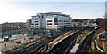


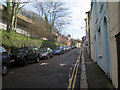
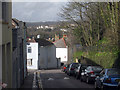
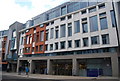
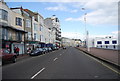
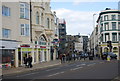
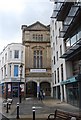
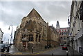
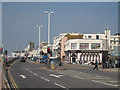
100 photos from this area
Area Information
Key information about the TN34 1TJ including its size, population, and administrative classification.
- Area Type
- Postcode
- Area Size
- 1.7 hectares
- Population
- 1866
- Population Density
- 3271 people/km²
House Prices in TN34 1TJ
45
Properties
£325,393
Average Sold Price
£15,000
Lowest Price
£635,000
Highest Price
Showing 45 properties
| Address | Type | Beds | Baths | Last Sale Price | Last Sale Date | |
|---|---|---|---|---|---|---|
| 2 Linton Crescent, Hastings, TN34 1TJ | Terraced | 4 | 2 | £460,000 | Feb 2025 | |
| 22 Linton Crescent, Hastings, TN34 1TJ | Terraced | 5 | 1 | £517,000 | Jun 2024 | |
| 1 Linton Crescent, Hastings, TN34 1TJ | Terraced | 5 | - | £310,000 | Nov 2021 | |
| 3 Linton Crescent, Hastings, TN34 1TJ | house | - | - | £325,000 | Feb 2021 | |
| 23 Linton Crescent, Hastings, TN34 1TJ | Terraced | 5 | 2 | £450,000 | Dec 2020 | |
| 12 Linton Crescent, Hastings, TN34 1TJ | Terraced | 5 | - | £500,000 | Nov 2020 | |
| 13 Linton Crescent, Hastings, TN34 1TJ | Terraced | 5 | 3 | £635,000 | Sep 2020 | |
| 10 Linton Crescent, Hastings, TN34 1TJ | Terraced | 4 | 2 | £460,000 | May 2018 | |
| 18 Linton Crescent, Hastings, TN34 1TJ | Terraced | 5 | - | £405,000 | Dec 2016 | |
| 8 Linton Crescent, Hastings, TN34 1TJ | Flat | - | - | £139,000 | Apr 2008 |
Page 1 of 5
Energy Efficiency in TN34 1TJ
Amenities
Schools
| Rank | School | Type | Entry gender | Ages |
|---|
Explore more schools in this area
Go to Schools tabDemographics
Household Size
One person
most common
Accommodation Type
Houses
most common
Tenure
69
majority
Ethnic Group
White
most common
Religion
N/A
most common
Household Composition
N/A
most common
Age
47
median
Adults (30-64 years)
most common
Household Deprivation
N/A
with no deprivation
NS-SEC
35
in Lower managerial occupations
Explore more demographic insights in this area
Go to Demographics tabPlanning
Planning Constraints
- Flood RiskPremium
- Ramsar Wetland SitesPremium
- Area of Outstanding Natural BeautyPremium
- Protected Nature ReservePremium
- Protected WoodlandPremium