Area Overview for TN33 9LB
Photos of TN33 9LB
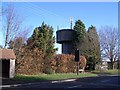


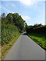
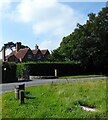


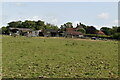
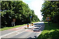
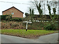
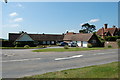
36 photos from this area
Area Information
Key information about the TN33 9LB including its size, population, and administrative classification.
- Area Type
- Postcode
- Area Size
- 1.1 hectares
- Population
- 1220
- Population Density
- 48 people/km²
House Prices in TN33 9LB
15
Properties
£302,727
Average Sold Price
£99,000
Lowest Price
£525,000
Highest Price
Showing 15 properties
| Address | Type | Beds | Baths | Last Sale Price | Last Sale Date | |
|---|---|---|---|---|---|---|
| Prinkle, Standard Hill Close, Ninfield, TN33 9LB | Bungalow | - | - | £525,000 | Jun 2022 | |
| Colthurst, Standard Hill Close, Ninfield, TN33 9LB | Bungalow | 3 | 1 | £405,000 | Feb 2021 | |
| Bywood, Standard Hill Close, Ninfield, TN33 9LB | Bungalow | 3 | 1 | £377,000 | Aug 2018 | |
| Crombie, Standard Hill Close, Ninfield, TN33 9LB | Detached | 5 | 3 | £515,000 | May 2018 | |
| Penmaen, Standard Hill Close, Ninfield, TN33 9LB | Bungalow | 4 | 1 | £220,000 | Jul 2017 | |
| Brambles, Standard Hill Close, Ninfield, TN33 9LB | Detached | 3 | 1 | £247,000 | Jul 2013 | |
| High Hedges, Standard Hill Close, Ninfield, TN33 9LB | Bungalow | - | - | £295,000 | Aug 2011 | |
| March View, Standard Hill Close, Ninfield, TN33 9LB | Bungalow | - | - | £272,000 | Jan 2010 | |
| Kingfisher, Standard Hill Close, Ninfield, TN33 9LB | Detached | - | - | £200,000 | Apr 2004 | |
| Belle Vue, Standard Hill Close, Ninfield, TN33 9LB | Detached | - | - | £175,000 | Dec 2002 |
Page 1 of 2
Energy Efficiency in TN33 9LB
Amenities
Schools
| Rank | School | Type | Entry gender | Ages |
|---|
Explore more schools in this area
Go to Schools tabDemographics
Household Size
Two person
most common
Accommodation Type
Houses
most common
Tenure
85
majority
Ethnic Group
White
most common
Religion
N/A
most common
Household Composition
N/A
most common
Age
47
median
Adults (30-64 years)
most common
Household Deprivation
N/A
with no deprivation
NS-SEC
40
in Lower managerial occupations
Explore more demographic insights in this area
Go to Demographics tabPlanning
Planning Constraints
- Flood RiskPremium
- Ramsar Wetland SitesPremium
- Area of Outstanding Natural BeautyPremium
- Protected Nature ReservePremium
- Protected WoodlandPremium