Area Overview for TN33 0RZ
Photos of TN33 0RZ
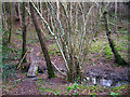


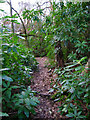
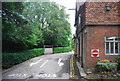
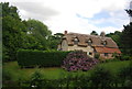
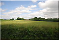
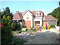
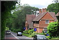

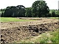
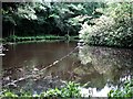
19 photos from this area
Area Information
Key information about the TN33 0RZ including its size, population, and administrative classification.
- Area Type
- Postcode
- Area Size
- 37.9 hectares
- Population
- 1920
- Population Density
- 52 people/km²
House Prices in TN33 0RZ
34
Properties
£501,917
Average Sold Price
£210,000
Lowest Price
£1,380,000
Highest Price
Showing 34 properties
| Address | Type | Beds | Baths | Last Sale Price | Last Sale Date | |
|---|---|---|---|---|---|---|
| Casements, 5 Moat Lane, Westfield, TN33 0RZ | house | - | - | £550,000 | Feb 2025 | |
| 16 Moat Lane, Westfield, TN33 0RZ | house | - | - | £1,380,000 | Apr 2023 | |
| Greenacres, 9 Moat Lane, Westfield, TN33 0RZ | Bungalow | 4 | 3 | £850,000 | Jul 2022 | |
| Troyd Farm, Moat Lane, Westfield, TN33 0RZ | house | - | - | £875,000 | Mar 2022 | |
| Karibu, Moat Lane, Westfield, TN33 0RZ | Detached | - | - | £840,000 | Mar 2020 | |
| 3 Moat Lane, Westfield, TN33 0RZ | Detached | 3 | 1 | £475,000 | Apr 2019 | |
| Woodside, Moat Lane, Westfield, TN33 0RZ | house | - | - | £567,500 | Sep 2018 | |
| The Meadows, 15 Moat Lane, Westfield, TN33 0RZ | Detached | 6 | 3 | £860,000 | Sep 2018 | |
| White Walls, 14 Moat Lane, Westfield, TN33 0RZ | Bungalow | - | - | £610,000 | Sep 2016 | |
| Voles, Moat Lane, Westfield, TN33 0RZ | Detached | 4 | 3 | £512,000 | Jul 2016 |
Page 1 of 4
Energy Efficiency in TN33 0RZ
Amenities
Schools
| Rank | School | Type | Entry gender | Ages |
|---|
Explore more schools in this area
Go to Schools tabDemographics
Household Size
Two person
most common
Accommodation Type
Houses
most common
Tenure
86
majority
Ethnic Group
White
most common
Religion
N/A
most common
Household Composition
N/A
most common
Age
47
median
Adults (30-64 years)
most common
Household Deprivation
N/A
with no deprivation
NS-SEC
40
in Lower managerial occupations
Explore more demographic insights in this area
Go to Demographics tabPlanning
Planning Constraints
- Flood RiskPremium
- Ramsar Wetland SitesPremium
- Area of Outstanding Natural BeautyPremium
- Protected Nature ReservePremium
- Protected WoodlandPremium