Area Overview for TN27 9EW
Photos of TN27 9EW
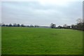
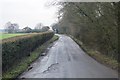
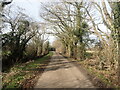
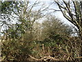
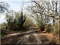
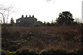
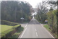
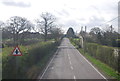
19 photos from this area
Area Information
Key information about the TN27 9EW including its size, population, and administrative classification.
- Area Type
- Postcode
- Area Size
- 4.2 hectares
- Population
- 1733
- Population Density
- 86 people/km²
House Prices in TN27 9EW
14
Properties
£926,286
Average Sold Price
£600,000
Lowest Price
£1,150,000
Highest Price
Showing 14 properties
| Address | Type | Beds | Baths | Last Sale Price | Last Sale Date | |
|---|---|---|---|---|---|---|
| 2 Old Hall Park, Headcorn, TN27 9EW | house | - | - | £1,100,000 | Aug 2025 | |
| 8 Old Hall Park, Headcorn, TN27 9EW | Detached | 5 | 3 | £1,100,000 | Jul 2022 | |
| 14 Old Hall Park, Headcorn, TN27 9EW | house | - | - | £1,150,000 | Nov 2021 | |
| 12 Old Hall Park, Headcorn, TN27 9EW | house | - | - | £975,000 | Jun 2021 | |
| 13 Old Hall Park, Headcorn, TN27 9EW | house | - | - | £795,000 | Jul 2020 | |
| 9 Old Hall Park, Headcorn, TN27 9EW | house | - | - | £840,000 | Jan 2020 | |
| Brandon House, 4 Old Hall Park, Headcorn, TN27 9EW | Detached | 4 | 3 | £865,000 | Jan 2020 | |
| 3 Old Hall Park, Headcorn, TN27 9EW | house | - | - | £813,000 | Dec 2019 | |
| 1 Old Hall Park, Headcorn, TN27 9EW | Detached | 4 | 3 | £895,000 | Nov 2019 | |
| Chesard House, 11 Old Hall Park, Headcorn, TN27 9EW | Detached | 5 | 4 | £970,000 | Jul 2019 |
Page 1 of 2
Energy Efficiency in TN27 9EW
Amenities
Schools
| Rank | School | Type | Entry gender | Ages |
|---|
Explore more schools in this area
Go to Schools tabDemographics
Household Size
Two person
most common
Accommodation Type
Houses
most common
Tenure
71
majority
Ethnic Group
White
most common
Religion
N/A
most common
Household Composition
N/A
most common
Age
47
median
Adults (30-64 years)
most common
Household Deprivation
N/A
with no deprivation
NS-SEC
37
in Lower managerial occupations
Explore more demographic insights in this area
Go to Demographics tabPlanning
Planning Constraints
- Flood RiskPremium
- Ramsar Wetland SitesPremium
- Area of Outstanding Natural BeautyPremium
- Protected Nature ReservePremium
- Protected WoodlandPremium