Area Overview for TN22 4JW
Photos of TN22 4JW

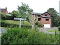
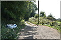
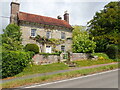
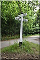
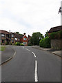
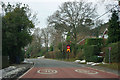
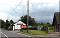
44 photos from this area
Area Information
Key information about the TN22 4JW including its size, population, and administrative classification.
- Area Type
- Postcode
- Area Size
- 2.8 hectares
- Population
- 1713
- Population Density
- 112 people/km²
House Prices in TN22 4JW
10
Properties
£445,778
Average Sold Price
£232,225
Lowest Price
£640,000
Highest Price
Showing 10 properties
| Address | Type | Beds | Baths | Last Sale Price | Last Sale Date | |
|---|---|---|---|---|---|---|
| Tarnhurst, Pound Green, Buxted, TN22 4JW | Bungalow | 4 | - | £605,000 | Sep 2015 | |
| Cherry Tree Cottage, Pound Green, Buxted, TN22 4JW | Detached | 4 | 2 | £603,000 | Nov 2014 | |
| Old Farmhouse, Pound Green, Buxted, TN22 4JW | Detached | 3 | - | £640,000 | Apr 2014 | |
| Shouli Gate, Pound Green, Buxted, TN22 4JW | house | 3 | - | £430,000 | Aug 2012 | |
| Anvil House, Pound Green, Buxted, TN22 4JW | Detached | - | - | £365,000 | Dec 2006 | |
| Pinehill, Pound Green, Buxted, TN22 4JW | Detached | 4 | - | £440,000 | Jul 2004 | |
| Magnolia Cottage, Pound Green, Buxted, TN22 4JW | Detached | 5 | 4 | £232,225 | Oct 1999 | |
| Old Heatherwode, Pound Green, Buxted, TN22 4JW | Detached | 4 | 2 | £251,000 | Jun 1997 | |
| Littlefield, Pound Green, Buxted, TN22 4JW | Detached | 4 | 2 | - | - | |
| Philbeech, Pound Green, Buxted, TN22 4JW | Detached | - | - | - | - |
Energy Efficiency in TN22 4JW
Amenities
Schools
| Rank | School | Type | Entry gender | Ages |
|---|
Explore more schools in this area
Go to Schools tabDemographics
Household Size
Two person
most common
Accommodation Type
Houses
most common
Tenure
89
majority
Ethnic Group
White
most common
Religion
N/A
most common
Household Composition
N/A
most common
Age
47
median
Adults (30-64 years)
most common
Household Deprivation
N/A
with no deprivation
NS-SEC
51
in Lower managerial occupations
Explore more demographic insights in this area
Go to Demographics tabPlanning
Planning Constraints
- Flood RiskPremium
- Ramsar Wetland SitesPremium
- Area of Outstanding Natural BeautyPremium
- Protected Nature ReservePremium
- Protected WoodlandPremium