Area Overview for TN21 8DR
Photos of TN21 8DR
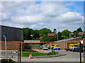
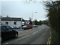
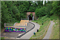
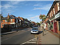
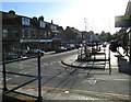
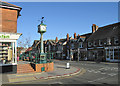
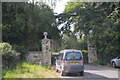
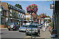
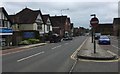
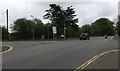
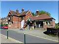
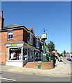
74 photos from this area
Area Information
Key information about the TN21 8DR including its size, population, and administrative classification.
- Area Type
- Postcode
- Area Size
- 1.8 hectares
- Population
- 1709
- Population Density
- 5204 people/km²
House Prices in TN21 8DR
26
Properties
£244,453
Average Sold Price
£39,000
Lowest Price
£465,000
Highest Price
Showing 26 properties
| Address | Type | Beds | Baths | Last Sale Price | Last Sale Date | |
|---|---|---|---|---|---|---|
| 3, Shelley Park, Station Road, Heathfield, TN21 8DR | Flat | - | - | £160,000 | Feb 2025 | |
| 2, Bramble Court, Station Road, Heathfield, TN21 8DR | Maisonette | - | - | £297,500 | Aug 2024 | |
| 1, Heathcote, Station Road, Heathfield, TN21 8DR | Flat | - | - | £112,000 | Aug 2023 | |
| Briars, Station Road, Heathfield, TN21 8DR | Detached | 4 | 2 | £465,000 | Nov 2022 | |
| 4, Bramble Court, Station Road, Heathfield, TN21 8DR | Flat | - | - | £205,000 | Apr 2020 | |
| Beech Cottage, Station Road, Heathfield, TN21 8DR | house | 4 | 3 | £350,000 | Jun 2017 | |
| Carradale, Station Road, Heathfield, TN21 8DR | Semi-detached | 4 | - | £275,000 | Jul 2016 | |
| Willow Cottage, Station Road, Heathfield, TN21 8DR | house | 4 | - | £277,500 | Jun 2013 | |
| Stoneleigh, Station Road, Heathfield, TN21 8DR | Bungalow | - | - | £249,995 | May 2013 | |
| Durham House, Station Road, Heathfield, TN21 8DR | Semi-detached | 3 | 2 | £365,000 | Apr 2013 |
Page 1 of 3
Energy Efficiency in TN21 8DR
Amenities
Schools
| Rank | School | Type | Entry gender | Ages |
|---|
Explore more schools in this area
Go to Schools tabDemographics
Household Size
Family (3-5 people)
most common
Accommodation Type
Houses
most common
Tenure
86
majority
Ethnic Group
White
most common
Religion
N/A
most common
Household Composition
N/A
most common
Age
47
median
Adults (30-64 years)
most common
Household Deprivation
N/A
with no deprivation
NS-SEC
38
in Lower managerial occupations
Explore more demographic insights in this area
Go to Demographics tabPlanning
Planning Constraints
- Flood RiskPremium
- Ramsar Wetland SitesPremium
- Area of Outstanding Natural BeautyPremium
- Protected Nature ReservePremium
- Protected WoodlandPremium