Area Overview for TN14 7NE
Photos of TN14 7NE
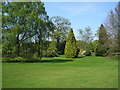
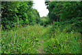
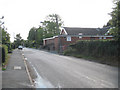
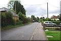
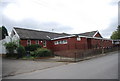
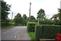
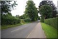
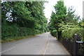
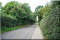
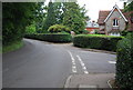
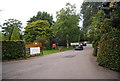
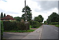
67 photos from this area
Area Information
Key information about the TN14 7NE including its size, population, and administrative classification.
- Area Type
- Postcode
- Area Size
- 15.4 hectares
- Population
- 1933
- Population Density
- 187 people/km²
House Prices in TN14 7NE
17
Properties
£468,995
Average Sold Price
£137,000
Lowest Price
£995,000
Highest Price
Showing 17 properties
| Address | Type | Beds | Baths | Last Sale Price | Last Sale Date | |
|---|---|---|---|---|---|---|
| Pound Cottage, Pound Lane, Knockholt, TN14 7NE | house | - | - | £685,000 | Nov 2021 | |
| Cobby House, Pound Lane, Knockholt, TN14 7NE | Detached | 6 | 3 | £995,000 | Jul 2017 | |
| The Mayflower, Pound Lane, Knockholt, TN14 7NE | Semi-detached | - | - | £475,000 | Aug 2014 | |
| Valence, Pound Lane, Knockholt, TN14 7NE | house | 4 | 2 | £510,000 | Jan 2014 | |
| Pinehaven, Pound Lane, Knockholt, TN14 7NE | Detached | - | - | £630,000 | Nov 2007 | |
| Wisteria Cottage, Pound Lane, Knockholt, TN14 7NE | Semi-detached | - | - | £395,000 | Oct 2007 | |
| Sycamore Cottage, Pound Lane, Knockholt, TN14 7NE | Detached | - | - | £435,000 | Jun 2007 | |
| Farthings, 2 Pound Lane, Knockholt, TN14 7NE | Detached | - | - | £415,000 | Mar 2007 | |
| Norton, Pound Lane, Knockholt, TN14 7NE | house | - | - | £332,000 | Sep 1998 | |
| Badgers, Pound Lane, Knockholt, TN14 7NE | Semi-detached | - | - | £149,950 | Sep 1997 |
Page 1 of 2
Energy Efficiency in TN14 7NE
Amenities
Schools
| Rank | School | Type | Entry gender | Ages |
|---|
Explore more schools in this area
Go to Schools tabDemographics
Household Size
Family (3-5 people)
most common
Accommodation Type
Houses
most common
Tenure
86
majority
Ethnic Group
White
most common
Religion
N/A
most common
Household Composition
N/A
most common
Age
47
median
Adults (30-64 years)
most common
Household Deprivation
N/A
with no deprivation
NS-SEC
44
in Lower managerial occupations
Explore more demographic insights in this area
Go to Demographics tabPlanning
Planning Constraints
- Flood RiskPremium
- Ramsar Wetland SitesPremium
- Area of Outstanding Natural BeautyPremium
- Protected Nature ReservePremium
- Protected WoodlandPremium