Area Overview for Test Valley District
Photos of Test Valley District

Area Information
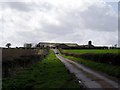
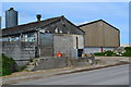
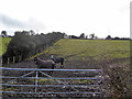
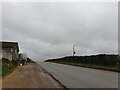
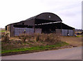
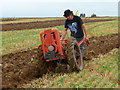
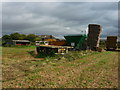
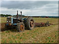
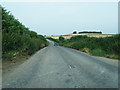
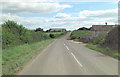
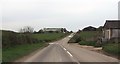
Living in Test Valley District offers a distinct pace of life within a landscape dominated by natural beauty. This unitary authority district covers an extensive 628.1 km², providing a vast canvas for rural homes and country parks. The area functions as a local authority district in Hampshire, blending open countryside with established market towns. You will find a community where quiet neighbourhoods stretch across rolling hills, yet convenient access to larger centres remains possible. The sheer size of the district means travel times between villages can vary, requiring careful consideration of your daily commute. Residents here enjoy a setting that prioritises wide skies and green spaces over urban density. The district's character is defined by its expansive geography, which supports a relaxed lifestyle away from the congestion of major cities. If you prioritize space and scenery, this location provides those elements by default. However, the large footprint also means services are spread thin. You must weigh the benefits of the rural setting against the need to travel for certain amenities. Test Valley District stands apart from more compact boroughs because of its significant land area and strong connections to the wider English countryside.
- Area Type
- District/Borough
- Area Size
- 628.1 km²
- Population
- Not available
- Population Density
- Not available
Demographics
The community in Test Valley District skews significantly older than the national average. Your neighbour is likely over the age of 65, as the median age sits at exactly 70. This statistic paints a clear picture of who calls this area home: a population made up largely of retirees and older demographics. You are looking at a society where energy levels may be quieter, and social activities often centre around established community groups rather than the latest trends. Home ownership is the dominant pattern in this district, with 71% of households owning their property outright or with a mortgage. This high ownership rate suggests stability and long-term residents rather than a transient rental market. Most people in Test Valley District have put down roots and experienced the cost of living through market fluctuations over decades. The household composition mirrors this trend, with properties often suited to singles, couples, or elderly families rather than young professionals starting out. There is limited data on ethnic diversity or religious breakdown within the provided records for this specific district. Consequently, the demographic profile is defined primarily by age and tenure rather than cultural metrics. You will find a community united by its later-life focus and property ownership norms. This creates a predictable environment where neighbours know each other well, but it may also mean fewer young families moving in for education or career opportunities.
Household Size
Accommodation Type
Tenure
Ethnic Group
Religion
Household Composition
Age
Household Deprivation
NS-SEC
Explore more demographic insights in this area
Go to Demographics tabPlanning
Planning Constraints
- Flood RiskPremium
- Ramsar Wetland SitesPremium
- Area of Outstanding Natural BeautyPremium
- Protected Nature ReservePremium
- Protected WoodlandPremium
- Crime RiskPremium