Area Overview for SP6 2QG
Photos of SP6 2QG
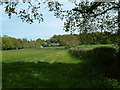


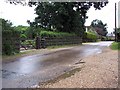
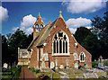
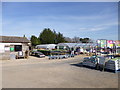
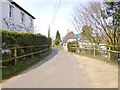
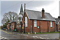

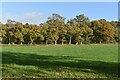
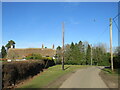
51 photos from this area
Area Information
Key information about the SP6 2QG including its size, population, and administrative classification.
- Area Type
- Postcode
- Area Size
- 22.8 hectares
- Population
- 1305
- Population Density
- 38 people/km²
House Prices in SP6 2QG
10
Properties
£702,857
Average Sold Price
£130,000
Lowest Price
£2,090,000
Highest Price
Showing 10 properties
| Address | Type | Beds | Baths | Last Sale Price | Last Sale Date | |
|---|---|---|---|---|---|---|
| Honeysuckle Cottage, Hungerford Hill, Hungerford, SP6 2QG | Detached | 3 | 2 | £672,500 | Jan 2024 | |
| Hungerford House, Hungerford Hill, Hungerford, SP6 2QG | Detached | 3 | - | £2,090,000 | Nov 2019 | |
| Rose Cottage, Hungerford Hill, Hungerford, SP6 2QG | house | - | - | £485,000 | Aug 2015 | |
| Mella Cottage, Hungerford Hill, Hungerford, SP6 2QG | house | - | - | £705,000 | Jun 2015 | |
| Greenmount, Hungerford Hill, Hungerford, SP6 2QG | Detached | 3 | - | £582,500 | Sep 2013 | |
| Little Hungerford, Track Between Ringwood Road And Buddle Hill, Hungerford, SP6 2QG | Detached | - | - | £130,000 | Mar 1997 | |
| Dairy Farm, Hungerford Hill, Hungerford, SP6 2QG | Detached | - | - | £255,000 | Apr 1995 | |
| Willowhayne, Buddle Hill, Hungerford, SP6 2QG | Detached | - | - | - | - | |
| Highfield, Buddle Hill, Hungerford, SP6 2QG | Detached | - | - | - | - | |
| Greenways, Hungerford Hill, Hungerford, SP6 2QG | Detached | - | - | - | - |
Energy Efficiency in SP6 2QG
Amenities
Schools
| Rank | School | Type | Entry gender | Ages |
|---|
Explore more schools in this area
Go to Schools tabDemographics
Household Size
Two person
most common
Accommodation Type
Houses
most common
Tenure
89
majority
Ethnic Group
White
most common
Religion
N/A
most common
Household Composition
N/A
most common
Age
47
median
Adults (30-64 years)
most common
Household Deprivation
N/A
with no deprivation
NS-SEC
44
in Lower managerial occupations
Explore more demographic insights in this area
Go to Demographics tabPlanning
Planning Constraints
- Flood RiskPremium
- Ramsar Wetland SitesPremium
- Area of Outstanding Natural BeautyPremium
- Protected Nature ReservePremium
- Protected WoodlandPremium