Area Overview for SP6 2PF
Photos of SP6 2PF
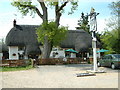
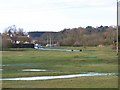
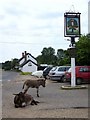
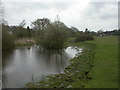
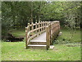
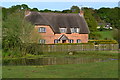
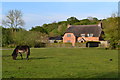
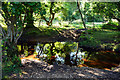
44 photos from this area
Area Information
Key information about the SP6 2PF including its size, population, and administrative classification.
- Area Type
- Postcode
- Area Size
- 29.1 hectares
- Population
- 1305
- Population Density
- 38 people/km²
House Prices in SP6 2PF
10
Properties
£769,725
Average Sold Price
£312,000
Lowest Price
£1,386,000
Highest Price
Showing 10 properties
| Address | Type | Beds | Baths | Last Sale Price | Last Sale Date | |
|---|---|---|---|---|---|---|
| Gunville Cottage, Buddle Hill, North Gorley, SP6 2PF | Detached | 5 | 2 | £1,386,000 | Mar 2025 | |
| Larkrise, Buddle Hill, North Gorley, SP6 2PF | Detached | 3 | 3 | £867,500 | Mar 2025 | |
| Buddle Mead, Buddle Hill, North Gorley, SP6 2PF | Detached | 4 | 3 | £1,157,300 | Mar 2024 | |
| Upper Buddle, Buddle Hill, North Gorley, SP6 2PF | Detached | 4 | - | £870,000 | Jun 2016 | |
| Little Hearnden, Buddle Hill, North Gorley, SP6 2PF | house | - | - | £600,000 | Aug 2012 | |
| Holcombe, Buddle Hill, North Gorley, SP6 2PF | Detached | 3 | 2 | £465,000 | Jun 2010 | |
| Prospect Cottage, Buddle Hill, North Gorley, SP6 2PF | Detached | - | - | £500,000 | Aug 2003 | |
| Whistles, Buddle Hill, North Gorley, SP6 2PF | Chalet | 5 | 2 | £312,000 | Nov 1998 | |
| Buddle Cottage, Buddle Hill, North Gorley, SP6 2PF | Detached | 4 | - | - | - | |
| Buddle Cottage Farm, Buddle Hill, North Gorley, SP6 2PF | Detached | - | - | - | - |
Energy Efficiency in SP6 2PF
Amenities
Schools
| Rank | School | Type | Entry gender | Ages |
|---|
Explore more schools in this area
Go to Schools tabDemographics
Household Size
Two person
most common
Accommodation Type
Houses
most common
Tenure
89
majority
Ethnic Group
White
most common
Religion
N/A
most common
Household Composition
N/A
most common
Age
47
median
Adults (30-64 years)
most common
Household Deprivation
N/A
with no deprivation
NS-SEC
44
in Lower managerial occupations
Explore more demographic insights in this area
Go to Demographics tabPlanning
Planning Constraints
- Flood RiskPremium
- Ramsar Wetland SitesPremium
- Area of Outstanding Natural BeautyPremium
- Protected Nature ReservePremium
- Protected WoodlandPremium