Area Overview for SP11 0RW
Photos of SP11 0RW
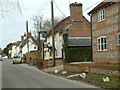
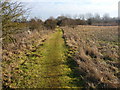
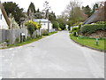
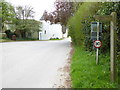
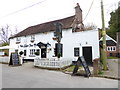
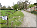
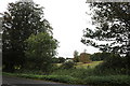
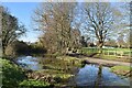
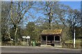
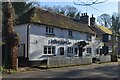
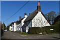
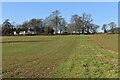
36 photos from this area
Area Information
Key information about the SP11 0RW including its size, population, and administrative classification.
- Area Type
- Postcode
- Area Size
- 58.2 hectares
- Population
- 1662
- Population Density
- 112 people/km²
House Prices in SP11 0RW
14
Properties
£953,889
Average Sold Price
£247,000
Lowest Price
£3,150,000
Highest Price
Showing 14 properties
| Address | Type | Beds | Baths | Last Sale Price | Last Sale Date | |
|---|---|---|---|---|---|---|
| East Lodge, Newbury Hill, Penton Mewsey, SP11 0RW | Detached | 4 | 2 | £1,200,000 | Dec 2023 | |
| Yew Trees, Newbury Hill, Penton Mewsey, SP11 0RW | Detached | 6 | 4 | £3,150,000 | Oct 2022 | |
| Rose Cottage, Newbury Hill, Penton Mewsey, SP11 0RW | Detached | - | - | £650,000 | Feb 2022 | |
| Home Farm House, Newbury Hill, Penton Mewsey, SP11 0RW | Detached | - | - | £1,250,000 | Sep 2021 | |
| Fairfield, Newbury Hill, Penton Mewsey, SP11 0RW | Detached | 4 | 2 | £793,000 | Aug 2019 | |
| The Haven, Newbury Hill, Penton Mewsey, SP11 0RW | Bungalow | - | - | £285,000 | Feb 2019 | |
| Megs Patch, Newbury Hill, Penton Mewsey, SP11 0RW | Detached | 3 | 2 | £355,000 | Apr 2009 | |
| Park Cottage, Newbury Hill, Penton Mewsey, SP11 0RW | Detached | - | - | £655,000 | Jul 2003 | |
| Shepherds Peace, Newbury Hill, Penton Mewsey, SP11 0RW | Detached | - | - | £247,000 | Nov 1996 | |
| The Coach House, Newbury Hill, Penton Mewsey, SP11 0RW | Semi-detached | 4 | 3 | - | - |
Page 1 of 2
Energy Efficiency in SP11 0RW
Amenities
Schools
| Rank | School | Type | Entry gender | Ages |
|---|
Explore more schools in this area
Go to Schools tabDemographics
Household Size
Two person
most common
Accommodation Type
Houses
most common
Tenure
73
majority
Ethnic Group
White
most common
Religion
N/A
most common
Household Composition
N/A
most common
Age
47
median
Adults (30-64 years)
most common
Household Deprivation
N/A
with no deprivation
NS-SEC
45
in Lower managerial occupations
Explore more demographic insights in this area
Go to Demographics tabPlanning
Planning Constraints
- Flood RiskPremium
- Ramsar Wetland SitesPremium
- Area of Outstanding Natural BeautyPremium
- Protected Nature ReservePremium
- Protected WoodlandPremium