Area Overview for SP11 0LB
Photos of SP11 0LB
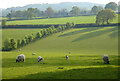
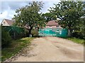
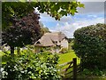
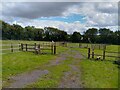
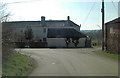
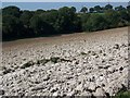
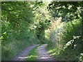
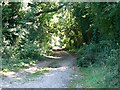
26 photos from this area
Area Information
Key information about the SP11 0LB including its size, population, and administrative classification.
- Area Type
- Postcode
- Area Size
- 22.0 hectares
- Population
- 2102
- Population Density
- 32 people/km²
House Prices in SP11 0LB
8
Properties
£353,125
Average Sold Price
£135,000
Lowest Price
£590,000
Highest Price
Showing 8 properties
| Address | Type | Beds | Baths | Last Sale Price | Last Sale Date | |
|---|---|---|---|---|---|---|
| 4 Haydown Leas, Vernham Dean, SP11 0LB | Bungalow | - | - | £400,000 | Jul 2025 | |
| Rowans, 8 Haydown Leas, Vernham Dean, SP11 0LB | Detached | 4 | 2 | £410,000 | Aug 2018 | |
| Cluny House, 6 Haydown Leas, Vernham Dean, SP11 0LB | house | - | - | £590,000 | Jul 2017 | |
| 5 Haydown Leas, Vernham Dean, SP11 0LB | Bungalow | 2 | 1 | £290,000 | Jan 2015 | |
| 7 Haydown Leas, Vernham Dean, SP11 0LB | Detached | - | - | £387,000 | Oct 2007 | |
| 3 Haydown Leas, Vernham Dean, SP11 0LB | Detached | - | - | £385,000 | Oct 2007 | |
| 2 Haydown Leas, Vernham Dean, SP11 0LB | Detached | - | - | £228,000 | Jun 2002 | |
| Highbank, 9 Haydown Leas, Vernham Dean, SP11 0LB | Detached | - | - | £135,000 | Dec 1996 |
Energy Efficiency in SP11 0LB
Amenities
Schools
| Rank | School | Type | Entry gender | Ages |
|---|
Explore more schools in this area
Go to Schools tabDemographics
Household Size
Two person
most common
Accommodation Type
Houses
most common
Tenure
70
majority
Ethnic Group
White
most common
Religion
N/A
most common
Household Composition
N/A
most common
Age
47
median
Adults (30-64 years)
most common
Household Deprivation
N/A
with no deprivation
NS-SEC
46
in Lower managerial occupations
Explore more demographic insights in this area
Go to Demographics tabPlanning
Planning Constraints
- Flood RiskPremium
- Ramsar Wetland SitesPremium
- Area of Outstanding Natural BeautyPremium
- Protected Nature ReservePremium
- Protected WoodlandPremium