Area Overview for SO50 9RA
Photos of SO50 9RA
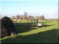
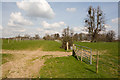
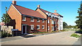
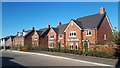
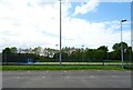
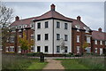
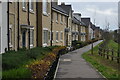
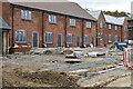
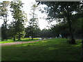
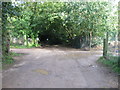
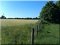
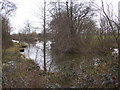
14 photos from this area
Area Information
Key information about the SO50 9RA including its size, population, and administrative classification.
- Area Type
- Postcode
- Area Size
- 6.4 hectares
- Population
- 1271
- Population Density
- 1119 people/km²
House Prices in SO50 9RA
45
Properties
£424,629
Average Sold Price
£195,000
Lowest Price
£600,000
Highest Price
Showing 45 properties
| Address | Type | Beds | Baths | Last Sale Price | Last Sale Date | |
|---|---|---|---|---|---|---|
| 45 Kenworthy Way, North Stoneham Park, Eastleigh, SO50 9RA | Detached | 3 | 2 | £406,000 | Dec 2025 | |
| 31 Kenworthy Way, North Stoneham Park, Eastleigh, SO50 9RA | house | - | - | £570,000 | Apr 2025 | |
| 10 Kenworthy Way, North Stoneham Park, Eastleigh, SO50 9RA | Flat | - | - | £265,000 | Mar 2025 | |
| 7 Kenworthy Way, North Stoneham Park, Eastleigh, SO50 9RA | Flat | - | - | £275,000 | Jan 2025 | |
| 4 Kenworthy Way, North Stoneham Park, Eastleigh, SO50 9RA | Flat | 2 | 2 | £260,000 | Oct 2024 | |
| 5 Kenworthy Way, North Stoneham Park, Eastleigh, SO50 9RA | Flat | 1 | 1 | £196,000 | Oct 2024 | |
| 9 Kenworthy Way, North Stoneham Park, Eastleigh, SO50 9RA | Flat | - | - | £245,000 | Aug 2024 | |
| 6 Kenworthy Way, North Stoneham Park, Eastleigh, SO50 9RA | Flat | - | - | £245,000 | Aug 2024 | |
| 12 Kenworthy Way, North Stoneham Park, Eastleigh, SO50 9RA | Maisonette | - | - | £287,000 | Jun 2024 | |
| 32 Kenworthy Way, North Stoneham Park, Eastleigh, SO50 9RA | Detached | 4 | 2 | £540,000 | Mar 2024 |
Page 1 of 5
Energy Efficiency in SO50 9RA
Amenities
Schools
| Rank | School | Type | Entry gender | Ages |
|---|
Explore more schools in this area
Go to Schools tabDemographics
Household Size
Family (3-5 people)
most common
Accommodation Type
Houses
most common
Tenure
62
majority
Ethnic Group
White
most common
Religion
N/A
most common
Household Composition
N/A
most common
Age
22
median
Adults (30-64 years)
most common
Household Deprivation
N/A
with no deprivation
NS-SEC
46
in Lower managerial occupations
Explore more demographic insights in this area
Go to Demographics tabPlanning
Planning Constraints
- Flood RiskPremium
- Ramsar Wetland SitesPremium
- Area of Outstanding Natural BeautyPremium
- Protected Nature ReservePremium
- Protected WoodlandPremium