Area Overview for SO53 3HN
Photos of SO53 3HN
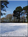
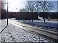
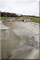


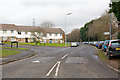

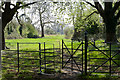
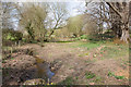

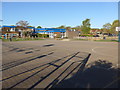
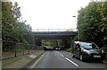
87 photos from this area
Area Information
Key information about the SO53 3HN including its size, population, and administrative classification.
- Area Type
- Postcode
- Area Size
- 2.3 hectares
- Population
- 1999
- Population Density
- 4837 people/km²
House Prices in SO53 3HN
25
Properties
£283,672
Average Sold Price
£156,000
Lowest Price
£468,000
Highest Price
Showing 25 properties
| Address | Type | Beds | Baths | Last Sale Price | Last Sale Date | |
|---|---|---|---|---|---|---|
| 248 Chestnut Avenue, Eastleigh, SO53 3HN | Semi-detached | 4 | 2 | £468,000 | Feb 2025 | |
| 242 Chestnut Avenue, Eastleigh, SO53 3HN | Cottage | 2 | 1 | £326,750 | Oct 2022 | |
| 250 Chestnut Avenue, Eastleigh, SO53 3HN | Flat | 2 | 1 | £235,000 | Aug 2022 | |
| 240 Chestnut Avenue, Eastleigh, SO53 3HN | Cottage | 2 | - | £275,000 | Aug 2021 | |
| 256 Chestnut Avenue, Eastleigh, SO53 3HN | Flat | - | - | £186,000 | Aug 2020 | |
| Chestnut Lodge, 300 Chestnut Avenue, Chandlers Ford, SO53 3HN | Detached | 3 | 2 | £425,000 | Nov 2019 | |
| 216 Chestnut Avenue, Eastleigh, SO53 3HN | Bungalow | - | - | £309,000 | Feb 2019 | |
| 218 Chestnut Avenue, Eastleigh, SO53 3HN | Bungalow | - | - | £320,000 | Jan 2019 | |
| 238 Chestnut Avenue, Eastleigh, SO53 3HN | Cottage | 2 | 1 | £239,500 | Oct 2018 | |
| 244 Chestnut Avenue, Eastleigh, SO53 3HN | Terraced | 2 | 1 | £332,000 | Jan 2017 |
Page 1 of 3
Energy Efficiency in SO53 3HN
Amenities
Schools
| Rank | School | Type | Entry gender | Ages |
|---|
Explore more schools in this area
Go to Schools tabDemographics
Household Size
Family (3-5 people)
most common
Accommodation Type
Houses
most common
Tenure
67
majority
Ethnic Group
White
most common
Religion
N/A
most common
Household Composition
N/A
most common
Age
47
median
Adults (30-64 years)
most common
Household Deprivation
N/A
with no deprivation
NS-SEC
29
in Lower managerial occupations
Explore more demographic insights in this area
Go to Demographics tabPlanning
Planning Constraints
- Flood RiskPremium
- Ramsar Wetland SitesPremium
- Area of Outstanding Natural BeautyPremium
- Protected Nature ReservePremium
- Protected WoodlandPremium