Area Overview for SO50 7PT
Photos of SO50 7PT
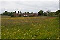
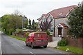
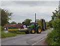
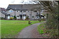
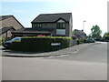
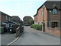

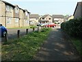
31 photos from this area
Area Information
Key information about the SO50 7PT including its size, population, and administrative classification.
- Area Type
- Postcode
- Area Size
- 1.4 hectares
- Population
- 1676
- Population Density
- 2912 people/km²
House Prices in SO50 7PT
39
Properties
£202,907
Average Sold Price
£40,995
Lowest Price
£440,000
Highest Price
Showing 39 properties
| Address | Type | Beds | Baths | Last Sale Price | Last Sale Date | |
|---|---|---|---|---|---|---|
| 31 Bryony Gardens, Horton Heath, SO50 7PT | Flat | - | - | £148,000 | Dec 2025 | |
| 22 Bryony Gardens, Horton Heath, SO50 7PT | house | 2 | - | £265,000 | Oct 2025 | |
| 14 Bryony Gardens, Horton Heath, SO50 7PT | house | 2 | 1 | £280,000 | May 2025 | |
| 3 Bryony Gardens, Horton Heath, SO50 7PT | Detached | 4 | 2 | £440,000 | Dec 2024 | |
| 13 Bryony Gardens, Horton Heath, SO50 7PT | house | 2 | 1 | £305,000 | Nov 2022 | |
| 18 Bryony Gardens, Horton Heath, SO50 7PT | Semi-detached | 4 | 2 | £380,000 | Jan 2022 | |
| 7 Bryony Gardens, Horton Heath, SO50 7PT | Terraced | 2 | - | £248,000 | Jun 2021 | |
| 15 Bryony Gardens, Horton Heath, SO50 7PT | house | - | - | £305,000 | Feb 2021 | |
| 17 Bryony Gardens, Horton Heath, SO50 7PT | house | - | - | £315,000 | Jan 2021 | |
| 10 Bryony Gardens, Horton Heath, SO50 7PT | house | - | - | £300,000 | Nov 2020 |
Page 1 of 4
Energy Efficiency in SO50 7PT
Amenities
Schools
| Rank | School | Type | Entry gender | Ages |
|---|
Explore more schools in this area
Go to Schools tabDemographics
Household Size
Family (3-5 people)
most common
Accommodation Type
Houses
most common
Tenure
87
majority
Ethnic Group
White
most common
Religion
N/A
most common
Household Composition
N/A
most common
Age
47
median
Adults (30-64 years)
most common
Household Deprivation
N/A
with no deprivation
NS-SEC
46
in Lower managerial occupations
Explore more demographic insights in this area
Go to Demographics tabPlanning
Planning Constraints
- Flood RiskPremium
- Ramsar Wetland SitesPremium
- Area of Outstanding Natural BeautyPremium
- Protected Nature ReservePremium
- Protected WoodlandPremium