Area Overview for SO45 1XL
Photos of SO45 1XL
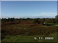
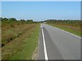
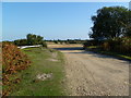
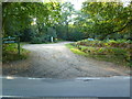
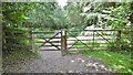
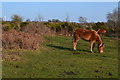
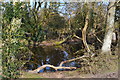
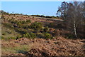
24 photos from this area
Area Information
Key information about the SO45 1XL including its size, population, and administrative classification.
- Area Type
- Postcode
- Area Size
- 44.7 hectares
- Population
- 1656
- Population Density
- 699 people/km²
House Prices in SO45 1XL
24
Properties
£423,825
Average Sold Price
£120,000
Lowest Price
£795,000
Highest Price
Showing 24 properties
| Address | Type | Beds | Baths | Last Sale Price | Last Sale Date | |
|---|---|---|---|---|---|---|
| Springhill Farm, West Common, Langley, SO45 1XL | Bungalow | 3 | 1 | £505,000 | Jul 2023 | |
| Clock House, West Common, Langley, SO45 1XL | house | - | - | £795,000 | Jun 2022 | |
| Syringa Cottage, West Common, Langley, SO45 1XL | house | - | - | £385,000 | Dec 2019 | |
| Agapanthus, West Common, Langley, SO45 1XL | Bungalow | 4 | - | £415,000 | Jun 2016 | |
| Hillside, West Common, Langley, SO45 1XL | Detached | 4 | - | £580,000 | Jul 2015 | |
| Clovelly, West Common, Langley, SO45 1XL | Detached | 3 | 2 | £532,428 | Jan 2008 | |
| Oaklea, West Common, Langley, SO45 1XL | Detached | - | - | £332,000 | Nov 2007 | |
| Barc-glade, West Common, Langley, SO45 1XL | Detached | - | - | £150,000 | Feb 1999 | |
| The Timbers, West Common, Langley, SO45 1XL | Detached | - | - | £120,000 | Aug 1996 | |
| Westfield House, West Common, Langley, SO45 1XL | Detached | 6 | - | - | - |
Page 1 of 3
Energy Efficiency in SO45 1XL
Amenities
Schools
| Rank | School | Type | Entry gender | Ages |
|---|
Explore more schools in this area
Go to Schools tabDemographics
Household Size
Two person
most common
Accommodation Type
Houses
most common
Tenure
82
majority
Ethnic Group
White
most common
Religion
N/A
most common
Household Composition
N/A
most common
Age
47
median
Adults (30-64 years)
most common
Household Deprivation
N/A
with no deprivation
NS-SEC
31
in Lower managerial occupations
Explore more demographic insights in this area
Go to Demographics tabPlanning
Planning Constraints
- Flood RiskPremium
- Ramsar Wetland SitesPremium
- Area of Outstanding Natural BeautyPremium
- Protected Nature ReservePremium
- Protected WoodlandPremium