Area Overview for SO45 1XJ
Photos of SO45 1XJ
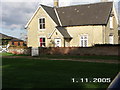
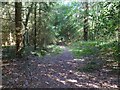
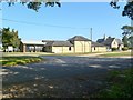
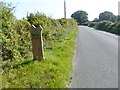
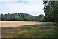
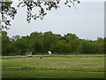
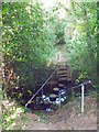
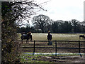
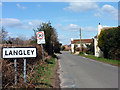
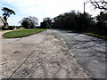
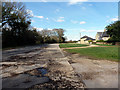
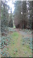
19 photos from this area
Area Information
Key information about the SO45 1XJ including its size, population, and administrative classification.
- Area Type
- Postcode
- Area Size
- 24.3 hectares
- Population
- 1354
- Population Density
- 872 people/km²
House Prices in SO45 1XJ
20
Properties
£398,750
Average Sold Price
£75,000
Lowest Price
£850,000
Highest Price
Showing 20 properties
| Address | Type | Beds | Baths | Last Sale Price | Last Sale Date | |
|---|---|---|---|---|---|---|
| Magnolia Cottage, West Common, Langley, SO45 1XJ | house | 3 | - | £485,000 | Mar 2024 | |
| Settlers Rest, West Common, Langley, SO45 1XJ | Detached | 5 | - | £850,000 | Dec 2022 | |
| Eden, West Common, Langley, SO45 1XJ | Bungalow | - | - | £650,000 | Sep 2020 | |
| 2, Solent View Cottages, West Common, Langley, SO45 1XJ | Semi-detached | 3 | 1 | £402,500 | Nov 2019 | |
| Lakeside, West Common, Langley, SO45 1XJ | Detached | 5 | 4 | £700,000 | Apr 2017 | |
| Scots Pine, West Common, Langley, SO45 1XJ | house | - | - | £420,000 | Sep 2000 | |
| The Birches, West Common, Langley, SO45 1XJ | Detached | - | - | £163,000 | Dec 1998 | |
| Robin Cottage, West Common, Langley, SO45 1XJ | Detached | - | - | £157,000 | Nov 1998 | |
| 2, Cloverley Cottage, West Common, Langley, SO45 1XJ | house | - | - | £85,000 | Aug 1998 | |
| Treetops, West Common, Langley, SO45 1XJ | Mobile Home | - | - | £75,000 | Jan 1998 |
Page 1 of 2
Energy Efficiency in SO45 1XJ
Amenities
Schools
| Rank | School | Type | Entry gender | Ages |
|---|
Explore more schools in this area
Go to Schools tabDemographics
Household Size
Two person
most common
Accommodation Type
Houses
most common
Tenure
94
majority
Ethnic Group
White
most common
Religion
N/A
most common
Household Composition
N/A
most common
Age
47
median
Adults (30-64 years)
most common
Household Deprivation
N/A
with no deprivation
NS-SEC
36
in Lower managerial occupations
Explore more demographic insights in this area
Go to Demographics tabPlanning
Planning Constraints
- Flood RiskPremium
- Ramsar Wetland SitesPremium
- Area of Outstanding Natural BeautyPremium
- Protected Nature ReservePremium
- Protected WoodlandPremium