Area Overview for SO45 1DW
Photos of SO45 1DW
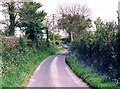

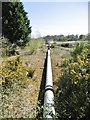
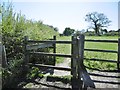
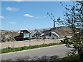
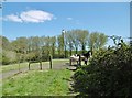
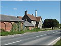

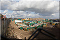
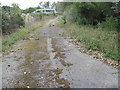
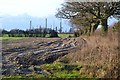
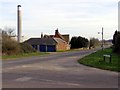
31 photos from this area
Area Information
Key information about the SO45 1DW including its size, population, and administrative classification.
- Area Type
- Postcode
- Area Size
- 12.4 hectares
- Population
- 1420
- Population Density
- 80 people/km²
House Prices in SO45 1DW
29
Properties
£210,372
Average Sold Price
£63,560
Lowest Price
£485,000
Highest Price
Showing 29 properties
| Address | Type | Beds | Baths | Last Sale Price | Last Sale Date | |
|---|---|---|---|---|---|---|
| 5, Solent House, Calshot Road, Fawley, SO45 1DW | Flat | - | - | £165,000 | Mar 2022 | |
| Greenwood, Calshot Road, Fawley, SO45 1DW | house | - | - | £485,000 | Mar 2022 | |
| 1, Rhyme Hall Cottage, Calshot Road, Fawley, SO45 1DW | house | - | - | £239,950 | May 2021 | |
| Frigate Cottage, Calshot Road, Fawley, SO45 1DW | Terraced | 3 | 2 | £226,000 | Jul 2017 | |
| Emanon, Calshot Road, Fawley, SO45 1DW | house | - | - | £270,000 | May 2017 | |
| Windwhistle, Calshot Road, Fawley, SO45 1DW | Detached | 4 | 1 | £442,000 | Apr 2015 | |
| Dartville, Calshot Road, Fawley, SO45 1DW | Semi-detached | 3 | 1 | £190,000 | Jul 2009 | |
| Kilderkin, Calshot Road, Fawley, SO45 1DW | Semi-detached | - | - | £189,000 | Sep 2006 | |
| Penlee, Calshot Road, Fawley, SO45 1DW | Semi-detached | - | - | £95,000 | Nov 1999 | |
| Ferndale, Calshot Road, Fawley, SO45 1DW | Semi-detached | - | - | £94,950 | Oct 1998 |
Page 1 of 3
Energy Efficiency in SO45 1DW
Amenities
Schools
| Rank | School | Type | Entry gender | Ages |
|---|
Explore more schools in this area
Go to Schools tabDemographics
Household Size
Two person
most common
Accommodation Type
Houses
most common
Tenure
73
majority
Ethnic Group
White
most common
Religion
N/A
most common
Household Composition
N/A
most common
Age
47
median
Adults (30-64 years)
most common
Household Deprivation
N/A
with no deprivation
NS-SEC
32
in Lower managerial occupations
Explore more demographic insights in this area
Go to Demographics tabPlanning
Planning Constraints
- Flood RiskPremium
- Ramsar Wetland SitesPremium
- Area of Outstanding Natural BeautyPremium
- Protected Nature ReservePremium
- Protected WoodlandPremium