Area Overview for SO43 7HH
Photos of SO43 7HH
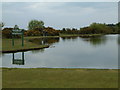
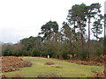
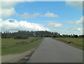
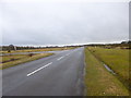
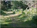
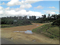

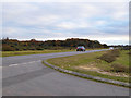
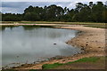
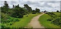
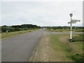
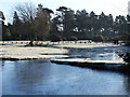
57 photos from this area
Area Information
Key information about the SO43 7HH including its size, population, and administrative classification.
- Area Type
- Postcode
- Area Size
- 7.2 km²
- Population
- 1316
- Population Density
- 20 people/km²
House Prices in SO43 7HH
40
Properties
£720,278
Average Sold Price
£120,000
Lowest Price
£1,865,000
Highest Price
Showing 40 properties
| Address | Type | Beds | Baths | Last Sale Price | Last Sale Date | |
|---|---|---|---|---|---|---|
| Moor Cottage, Road Through Fritham, Fritham, SO43 7HH | Cottage | 3 | 1 | £900,000 | Nov 2023 | |
| Brunswick House, Road Through Fritham, Fritham, SO43 7HH | Retail | 4 | 3 | £1,865,000 | Feb 2023 | |
| The Piggery, Road Through Fritham, Fritham, SO43 7HH | Detached | 2 | 2 | £1,050,000 | May 2019 | |
| White House, Road Through Fritham, Fritham, SO43 7HH | house | - | - | £1,080,000 | Jan 2017 | |
| Cowpenn Cottage, Road Through Fritham, Fritham, SO43 7HH | Bungalow | - | - | £430,000 | Apr 2011 | |
| Crowders, Road Through Fritham, Fritham, SO43 7HH | Detached | - | - | £470,000 | Mar 2003 | |
| Janesmoor House, Road Through Fritham, Fritham, SO43 7HH | Detached | - | - | £435,000 | Aug 1997 | |
| Quintons, Road Through Fritham, Fritham, SO43 7HH | Bungalow | - | - | £120,000 | Feb 1997 | |
| Primrose Cottage (b And B), Primrose Cottage, Road Through Fritham, Fritham, SO43 7HH | Detached | - | - | £132,500 | Feb 1995 | |
| Lister Tower, Road Through Fritham, Fritham, SO43 7HH | Equestrian | 4 | 4 | - | - |
Page 1 of 4
Energy Efficiency in SO43 7HH
Amenities
Schools
| Rank | School | Type | Entry gender | Ages |
|---|
Explore more schools in this area
Go to Schools tabDemographics
Household Size
Two person
most common
Accommodation Type
Houses
most common
Tenure
79
majority
Ethnic Group
White
most common
Religion
N/A
most common
Household Composition
N/A
most common
Age
47
median
Adults (30-64 years)
most common
Household Deprivation
N/A
with no deprivation
NS-SEC
45
in Lower managerial occupations
Explore more demographic insights in this area
Go to Demographics tabPlanning
Planning Constraints
- Flood RiskPremium
- Ramsar Wetland SitesPremium
- Area of Outstanding Natural BeautyPremium
- Protected Nature ReservePremium
- Protected WoodlandPremium