Area Overview for SO43 7BU
Photos of SO43 7BU
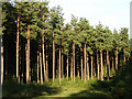
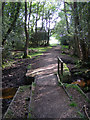
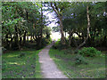
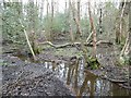
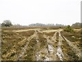
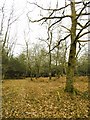
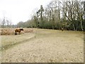
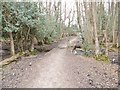
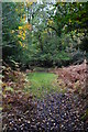
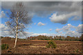
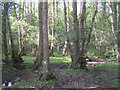

21 photos from this area
Area Information
Key information about the SO43 7BU including its size, population, and administrative classification.
- Area Type
- Postcode
- Area Size
- 3.2 km²
- Population
- 1559
- Population Density
- 218 people/km²
House Prices in SO43 7BU
27
Properties
£356,853
Average Sold Price
£122,000
Lowest Price
£1,100,000
Highest Price
Showing 27 properties
| Address | Type | Beds | Baths | Last Sale Price | Last Sale Date | |
|---|---|---|---|---|---|---|
| 6, Knightwood Lodge, Southampton Road, Lyndhurst, SO43 7BU | Flat | 1 | 1 | £122,000 | Dec 2024 | |
| 3, Knightwood Lodge, Southampton Road, Lyndhurst, SO43 7BU | Flat | 3 | 2 | £305,000 | Mar 2023 | |
| 4, Knightwood Lodge, Southampton Road, Lyndhurst, SO43 7BU | Flat | 1 | 1 | £202,500 | Nov 2022 | |
| Thatched Cottage, Southampton Road, Lyndhurst, SO43 7BU | Terraced | 2 | 1 | £700,000 | Mar 2022 | |
| Minstead Trust, Whitemoor, Southampton Road, Lyndhurst, SO43 7BU | hotel | - | - | £1,100,000 | Jan 2022 | |
| 7, Knightwood Lodge, Southampton Road, Lyndhurst, SO43 7BU | Flat | - | - | £170,000 | Sep 2018 | |
| Northbrook, Southampton Road, Lyndhurst, SO43 7BU | Flat | 2 | 1 | £475,000 | Apr 2017 | |
| Forest View Cottage, Southampton Road, Lyndhurst, SO43 7BU | Detached | 2 | 1 | £490,000 | Jun 2016 | |
| 2, Knightwood Lodge, Southampton Road, Lyndhurst, SO43 7BU | Flat | 2 | 1 | £226,500 | Apr 2014 | |
| 1, Knightwood Lodge, Southampton Road, Lyndhurst, SO43 7BU | Flat | 15 | - | £226,500 | Apr 2014 |
Page 1 of 3
Energy Efficiency in SO43 7BU
Amenities
Schools
| Rank | School | Type | Entry gender | Ages |
|---|
Explore more schools in this area
Go to Schools tabDemographics
Household Size
Two person
most common
Accommodation Type
Houses
most common
Tenure
85
majority
Ethnic Group
White
most common
Religion
N/A
most common
Household Composition
N/A
most common
Age
47
median
Adults (30-64 years)
most common
Household Deprivation
N/A
with no deprivation
NS-SEC
49
in Lower managerial occupations
Explore more demographic insights in this area
Go to Demographics tabPlanning
Planning Constraints
- Flood RiskPremium
- Ramsar Wetland SitesPremium
- Area of Outstanding Natural BeautyPremium
- Protected Nature ReservePremium
- Protected WoodlandPremium