Area Overview for SO42 7WF
Photos of SO42 7WF
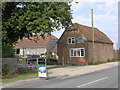
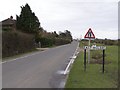
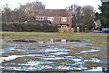
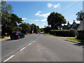
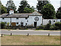
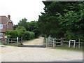
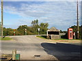
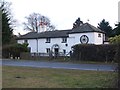
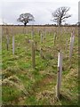
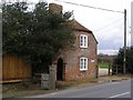
19 photos from this area
Area Information
Key information about the SO42 7WF including its size, population, and administrative classification.
- Area Type
- Postcode
- Area Size
- 2.8 hectares
- Population
- 2081
- Population Density
- 16 people/km²
House Prices in SO42 7WF
9
Properties
£616,286
Average Sold Price
£165,000
Lowest Price
£825,000
Highest Price
Showing 9 properties
| Address | Type | Beds | Baths | Last Sale Price | Last Sale Date | |
|---|---|---|---|---|---|---|
| Culzean, Heath Lane, East Boldre, SO42 7WF | Detached | 4 | 1 | £825,000 | Jun 2024 | |
| Stockbridge House, Heath Lane, East Boldre, SO42 7WF | Detached | 4 | - | £720,000 | Jun 2021 | |
| The Yews, Heath Lane, East Boldre, SO42 7WF | Detached | 3 | 2 | £629,000 | Oct 2020 | |
| Dolphins, Heath Lane, East Boldre, SO42 7WF | Detached | 3 | 1 | £645,000 | Jun 2018 | |
| Bank House, Heath Lane, East Boldre, SO42 7WF | house | - | - | £620,000 | Dec 2009 | |
| Dane End, Heath Lane, East Boldre, SO42 7WF | Detached | - | - | £710,000 | Apr 2008 | |
| Pipers Meadow, Heath Lane, East Boldre, SO42 7WF | Detached | - | - | £165,000 | May 1997 | |
| Forest Lodge, Heath Lane, East Boldre, SO42 7WF | Detached | - | - | - | - | |
| Orrells, Heath Lane, East Boldre, SO42 7WF | Detached | - | - | - | - |
Energy Efficiency in SO42 7WF
Amenities
Schools
| Rank | School | Type | Entry gender | Ages |
|---|
Explore more schools in this area
Go to Schools tabDemographics
Household Size
Two person
most common
Accommodation Type
Houses
most common
Tenure
61
majority
Ethnic Group
White
most common
Religion
N/A
most common
Household Composition
N/A
most common
Age
47
median
Adults (30-64 years)
most common
Household Deprivation
N/A
with no deprivation
NS-SEC
41
in Lower managerial occupations
Explore more demographic insights in this area
Go to Demographics tabPlanning
Planning Constraints
- Flood RiskPremium
- Ramsar Wetland SitesPremium
- Area of Outstanding Natural BeautyPremium
- Protected Nature ReservePremium
- Protected WoodlandPremium