Area Overview for SO41 8LH
Photos of SO41 8LH
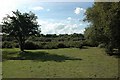
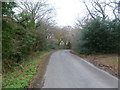
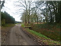
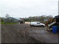
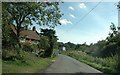
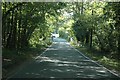
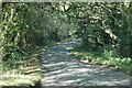
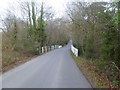
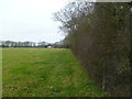
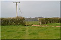
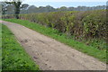
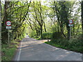
27 photos from this area
Area Information
Key information about the SO41 8LH including its size, population, and administrative classification.
- Area Type
- Postcode
- Area Size
- 62.4 hectares
- Population
- 1543
- Population Density
- 557 people/km²
House Prices in SO41 8LH
26
Properties
£791,619
Average Sold Price
£249,950
Lowest Price
£1,445,000
Highest Price
Showing 26 properties
| Address | Type | Beds | Baths | Last Sale Price | Last Sale Date | |
|---|---|---|---|---|---|---|
| Garden Cottage, 62 Ramley Road, Pennington, SO41 8LH | Detached | 3 | 2 | £950,000 | Dec 2022 | |
| Carrwood, 52 Ramley Road, Pennington, SO41 8LH | Detached | 4 | 1 | £1,445,000 | Oct 2021 | |
| Oak Cottage, 50 Ramley Road, Pennington, SO41 8LH | Detached | 4 | - | £740,000 | Aug 2019 | |
| Didgemere, 131 Ramley Road, Pennington, SO41 8LH | house | - | - | £660,000 | Oct 2007 | |
| Avonsleigh, 66 Ramley Road, Pennington, SO41 8LH | Detached | - | - | £750,000 | Aug 2006 | |
| Stable Cottage, 58 Ramley Road, Pennington, SO41 8LH | Detached | - | - | £550,000 | Jun 2005 | |
| The Gate House, 60 Ramley Road, Pennington, SO41 8LH | Detached | - | - | £249,950 | Nov 2004 | |
| Ramley House, 56 Ramley Road, Pennington, SO41 8LH | Retirement | - | - | £988,000 | May 2002 | |
| Little Ramley Farm, 115 Ramley Road, Pennington, SO41 8LH | Detached | 4 | 4 | - | - | |
| Ramley Cottage, 113 Ramley Road, Pennington, SO41 8LH | Detached | 5 | 3 | - | - |
Page 1 of 3
Energy Efficiency in SO41 8LH
Amenities
Schools
| Rank | School | Type | Entry gender | Ages |
|---|
Explore more schools in this area
Go to Schools tabDemographics
Household Size
Two person
most common
Accommodation Type
Houses
most common
Tenure
87
majority
Ethnic Group
White
most common
Religion
N/A
most common
Household Composition
N/A
most common
Age
47
median
Adults (30-64 years)
most common
Household Deprivation
N/A
with no deprivation
NS-SEC
38
in Lower managerial occupations
Explore more demographic insights in this area
Go to Demographics tabPlanning
Planning Constraints
- Flood RiskPremium
- Ramsar Wetland SitesPremium
- Area of Outstanding Natural BeautyPremium
- Protected Nature ReservePremium
- Protected WoodlandPremium