Area Overview for SO41 8GY
Photos of SO41 8GY
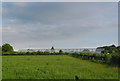
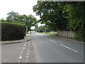
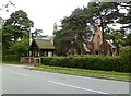
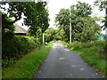
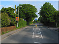
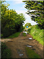
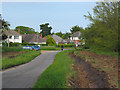
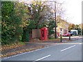

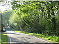
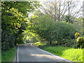

34 photos from this area
Area Information
Key information about the SO41 8GY including its size, population, and administrative classification.
- Area Type
- Postcode
- Area Size
- 5.0 hectares
- Population
- 1543
- Population Density
- 557 people/km²
House Prices in SO41 8GY
22
Properties
£430,479
Average Sold Price
£194,250
Lowest Price
£725,000
Highest Price
Showing 22 properties
| Address | Type | Beds | Baths | Last Sale Price | Last Sale Date | |
|---|---|---|---|---|---|---|
| 71 Ramley Road, Pennington, SO41 8GY | Detached | 4 | 2 | £515,000 | Nov 2019 | |
| Hazel Hurst, 99 Ramley Road, Pennington, SO41 8GY | Semi-detached | 2 | 1 | £320,000 | Jul 2019 | |
| 69 Ramley Road, Pennington, SO41 8GY | Detached | 3 | 2 | £585,000 | Nov 2018 | |
| 69A Ramley Road, Pennington, SO41 8GY | house | - | - | £725,000 | Mar 2018 | |
| 67 Ramley Road, Pennington, SO41 8GY | Detached | 3 | 2 | £560,000 | Feb 2018 | |
| 71A Ramley Road, Pennington, SO41 8GY | Detached | 3 | 2 | £650,000 | Jan 2018 | |
| Oberland, 95 Ramley Road, Pennington, SO41 8GY | Detached | 3 | - | £516,000 | Sep 2015 | |
| Kismet, 77 Ramley Road, Pennington, SO41 8GY | house | - | - | £330,000 | Jun 2012 | |
| Lavender Bank, 75 Ramley Road, Pennington, SO41 8GY | Bungalow | - | - | £267,500 | May 2010 | |
| Myrtle Farm Cottage, 73 Ramley Road, Pennington, SO41 8GY | Detached | 4 | 2 | £290,000 | Apr 2003 |
Page 1 of 3
Energy Efficiency in SO41 8GY
Amenities
Schools
| Rank | School | Type | Entry gender | Ages |
|---|
Explore more schools in this area
Go to Schools tabDemographics
Household Size
Two person
most common
Accommodation Type
Houses
most common
Tenure
87
majority
Ethnic Group
White
most common
Religion
N/A
most common
Household Composition
N/A
most common
Age
47
median
Adults (30-64 years)
most common
Household Deprivation
N/A
with no deprivation
NS-SEC
38
in Lower managerial occupations
Explore more demographic insights in this area
Go to Demographics tabPlanning
Planning Constraints
- Flood RiskPremium
- Ramsar Wetland SitesPremium
- Area of Outstanding Natural BeautyPremium
- Protected Nature ReservePremium
- Protected WoodlandPremium