Area Overview for SO41 6FT
Photos of SO41 6FT
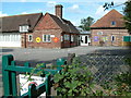

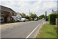
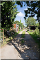
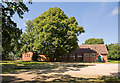

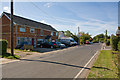
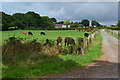
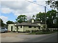
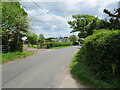
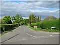
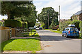
36 photos from this area
Area Information
Key information about the SO41 6FT including its size, population, and administrative classification.
- Area Type
- Postcode
- Area Size
- 31.8 hectares
- Population
- 1776
- Population Density
- 772 people/km²
House Prices in SO41 6FT
45
Properties
£413,980
Average Sold Price
£80,000
Lowest Price
£950,000
Highest Price
Showing 45 properties
| Address | Type | Beds | Baths | Last Sale Price | Last Sale Date | |
|---|---|---|---|---|---|---|
| Sunny Holme, Wootton Road, Tiptoe, SO41 6FT | Bungalow | 3 | 1 | £310,000 | Aug 2024 | |
| Greentrees, Wootton Road, Tiptoe, SO41 6FT | Detached | 3 | 2 | £905,000 | Jan 2023 | |
| Hareiton, Wootton Road, Tiptoe, SO41 6FT | Bungalow | 3 | 2 | £575,000 | Sep 2022 | |
| Kellarton House, Wootton Road, Tiptoe, SO41 6FT | Detached | 5 | - | £700,000 | Mar 2022 | |
| Westway, Wootton Road, Tiptoe, SO41 6FT | Bungalow | 3 | - | £480,000 | Mar 2018 | |
| Larkrise, Wootton Road, Tiptoe, SO41 6FT | Chalet | 4 | 2 | £560,000 | Sep 2017 | |
| Hornbeam House, Wootton Road, Tiptoe, SO41 6FT | Detached | 5 | 1 | £880,000 | Nov 2016 | |
| Danehurst Cottage, Wootton Road, Tiptoe, SO41 6FT | Detached | 4 | 1 | £540,000 | Mar 2016 | |
| Ye Old Forge Cottage, Wootton Road, Tiptoe, SO41 6FT | Cottage | 3 | 3 | £280,000 | Jan 2012 | |
| Berkeleys Field, Wootton Road, Tiptoe, SO41 6FT | Bungalow | - | - | £250,000 | Nov 2011 |
Page 1 of 5
Energy Efficiency in SO41 6FT
Amenities
Schools
| Rank | School | Type | Entry gender | Ages |
|---|
Explore more schools in this area
Go to Schools tabDemographics
Household Size
Two person
most common
Accommodation Type
Houses
most common
Tenure
84
majority
Ethnic Group
White
most common
Religion
N/A
most common
Household Composition
N/A
most common
Age
47
median
Adults (30-64 years)
most common
Household Deprivation
N/A
with no deprivation
NS-SEC
32
in Lower managerial occupations
Explore more demographic insights in this area
Go to Demographics tabPlanning
Planning Constraints
- Flood RiskPremium
- Ramsar Wetland SitesPremium
- Area of Outstanding Natural BeautyPremium
- Protected Nature ReservePremium
- Protected WoodlandPremium