Area Overview for SO30 0GJ
Photos of SO30 0GJ
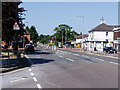
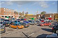
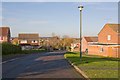
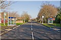
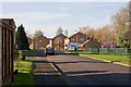
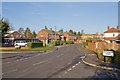
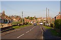
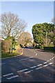
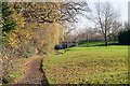
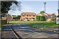
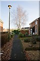
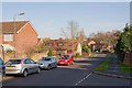
47 photos from this area
Area Information
Key information about the SO30 0GJ including its size, population, and administrative classification.
- Area Type
- Postcode
- Area Size
- 1.4 hectares
- Population
- 1500
- Population Density
- 4825 people/km²
House Prices in SO30 0GJ
26
Properties
£359,097
Average Sold Price
£89,200
Lowest Price
£653,000
Highest Price
Showing 26 properties
| Address | Type | Beds | Baths | Last Sale Price | Last Sale Date | |
|---|---|---|---|---|---|---|
| 24 Hobb Lane, Hedge End, SO30 0GJ | Detached | 4 | 2 | £558,000 | Nov 2023 | |
| 32 Hobb Lane, Hedge End, SO30 0GJ | Bungalow | - | - | £472,500 | Jun 2022 | |
| 50A Hobb Lane, Hedge End, SO30 0GJ | Bungalow | - | - | £653,000 | Feb 2022 | |
| 30 Hobb Lane, Hedge End, SO30 0GJ | house | - | - | £585,000 | Feb 2022 | |
| 48 Hobb Lane, Hedge End, SO30 0GJ | Semi-detached | 4 | - | £340,000 | Nov 2021 | |
| 28 Hobb Lane, Hedge End, SO30 0GJ | Bungalow | - | - | £350,000 | Jul 2020 | |
| 40A Hobb Lane, Hedge End, SO30 0GJ | house | - | - | £260,000 | Jan 2020 | |
| 22 Hobb Lane, Hedge End, SO30 0GJ | Bungalow | 3 | 1 | £345,000 | Mar 2019 | |
| 36 Hobb Lane, Hedge End, SO30 0GJ | Bungalow | 2 | 1 | £343,000 | Jan 2019 | |
| 20 Hobb Lane, Hedge End, SO30 0GJ | Detached | - | - | £385,000 | Feb 2017 |
Page 1 of 3
Energy Efficiency in SO30 0GJ
Amenities
Schools
| Rank | School | Type | Entry gender | Ages |
|---|
Explore more schools in this area
Go to Schools tabDemographics
Household Size
Two person
most common
Accommodation Type
Houses
most common
Tenure
93
majority
Ethnic Group
White
most common
Religion
N/A
most common
Household Composition
N/A
most common
Age
47
median
Adults (30-64 years)
most common
Household Deprivation
N/A
with no deprivation
NS-SEC
37
in Lower managerial occupations
Explore more demographic insights in this area
Go to Demographics tabPlanning
Planning Constraints
- Flood RiskPremium
- Ramsar Wetland SitesPremium
- Area of Outstanding Natural BeautyPremium
- Protected Nature ReservePremium
- Protected WoodlandPremium