Area Overview for SO20 8DB
Photos of SO20 8DB
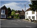
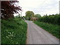
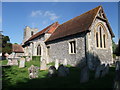

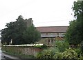
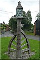
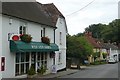
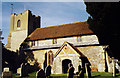
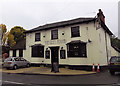
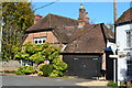
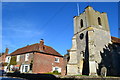
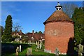
45 photos from this area
Area Information
Key information about the SO20 8DB including its size, population, and administrative classification.
- Area Type
- Postcode
- Area Size
- 29.4 hectares
- Population
- 1583
- Population Density
- 49 people/km²
House Prices in SO20 8DB
25
Properties
£385,881
Average Sold Price
£110,000
Lowest Price
£850,000
Highest Price
Showing 25 properties
| Address | Type | Beds | Baths | Last Sale Price | Last Sale Date | |
|---|---|---|---|---|---|---|
| Bluebell House, Romsey Road, Broughton, SO20 8DB | house | - | - | £564,000 | Apr 2023 | |
| Rose Cottage, Romsey Road, Broughton, SO20 8DB | Semi-detached | 5 | - | £480,000 | Feb 2014 | |
| The Manse, Romsey Road, Broughton, SO20 8DB | Detached | - | - | £850,000 | Nov 2007 | |
| Royston, Romsey Road, Broughton, SO20 8DB | Detached | - | - | £662,500 | Nov 2007 | |
| 1, Glenhurst Cottages, Romsey Road, Broughton, SO20 8DB | Semi-detached | - | - | £425,000 | May 2007 | |
| Beech Court, Romsey Road, Broughton, SO20 8DB | Detached | - | - | £435,000 | Jul 2006 | |
| Victoria Cottage, Romsey Road, Broughton, SO20 8DB | Detached | 3 | 2 | £320,000 | Apr 2005 | |
| Tower View, Romsey Road, Broughton, SO20 8DB | Semi-detached | - | - | £110,000 | Apr 2004 | |
| Gladstone Cottage, Romsey Road, Broughton, SO20 8DB | Semi-detached | - | - | £249,950 | Jan 2003 | |
| The Staddles, Romsey Road, Broughton, SO20 8DB | house | - | - | £395,000 | Jul 2002 |
Page 1 of 3
Energy Efficiency in SO20 8DB
Amenities
Schools
| Rank | School | Type | Entry gender | Ages |
|---|
Explore more schools in this area
Go to Schools tabDemographics
Household Size
Two person
most common
Accommodation Type
Houses
most common
Tenure
73
majority
Ethnic Group
White
most common
Religion
N/A
most common
Household Composition
N/A
most common
Age
47
median
Adults (30-64 years)
most common
Household Deprivation
N/A
with no deprivation
NS-SEC
45
in Lower managerial occupations
Explore more demographic insights in this area
Go to Demographics tabPlanning
Planning Constraints
- Flood RiskPremium
- Ramsar Wetland SitesPremium
- Area of Outstanding Natural BeautyPremium
- Protected Nature ReservePremium
- Protected WoodlandPremium