Area Overview for SO20 8BD
Photos of SO20 8BD
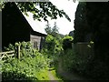
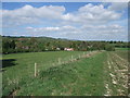
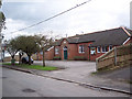
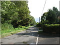

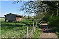
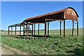
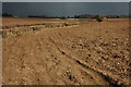

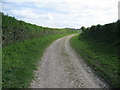
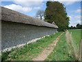
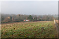
28 photos from this area
Area Information
Key information about the SO20 8BD including its size, population, and administrative classification.
- Area Type
- Postcode
- Area Size
- 21.2 hectares
- Population
- 1583
- Population Density
- 49 people/km²
House Prices in SO20 8BD
36
Properties
£565,058
Average Sold Price
£110,000
Lowest Price
£1,140,000
Highest Price
Showing 36 properties
| Address | Type | Beds | Baths | Last Sale Price | Last Sale Date | |
|---|---|---|---|---|---|---|
| Orchardton, Horsebridge Road, Broughton, SO20 8BD | house | - | - | £860,000 | Jan 2020 | |
| Highfield House, Horsebridge Road, Broughton, SO20 8BD | house | - | - | £1,140,000 | Aug 2019 | |
| Box Tree Cottage, Horsebridge Road, Broughton, SO20 8BD | house | - | - | £698,250 | Oct 2017 | |
| The Flints, Horsebridge Road, Broughton, SO20 8BD | house | - | - | £850,000 | Aug 2013 | |
| Gardeners Cottage, Horsebridge Road, Broughton, SO20 8BD | house | - | - | £367,500 | Apr 2009 | |
| Ivy Cottage, Horsebridge Road, Broughton, SO20 8BD | Detached | - | - | £630,000 | Sep 2006 | |
| Hawkswick, Horsebridge Road, Broughton, SO20 8BD | Detached | 4 | 3 | £550,000 | Aug 2005 | |
| Woodpeckers, Horsebridge Road, Broughton, SO20 8BD | house | - | - | £425,000 | Jun 2004 | |
| Aylesbury House, Horsebridge Road, Broughton, SO20 8BD | Detached | - | - | £630,000 | Apr 2004 | |
| Driscolls, Horsebridge Road, Broughton, SO20 8BD | Detached | - | - | £570,000 | Sep 2003 |
Page 1 of 4
Energy Efficiency in SO20 8BD
Amenities
Schools
| Rank | School | Type | Entry gender | Ages |
|---|
Explore more schools in this area
Go to Schools tabDemographics
Household Size
Two person
most common
Accommodation Type
Houses
most common
Tenure
73
majority
Ethnic Group
White
most common
Religion
N/A
most common
Household Composition
N/A
most common
Age
47
median
Adults (30-64 years)
most common
Household Deprivation
N/A
with no deprivation
NS-SEC
45
in Lower managerial occupations
Explore more demographic insights in this area
Go to Demographics tabPlanning
Planning Constraints
- Flood RiskPremium
- Ramsar Wetland SitesPremium
- Area of Outstanding Natural BeautyPremium
- Protected Nature ReservePremium
- Protected WoodlandPremium