Area Overview for SO19 8LW
Photos of SO19 8LW
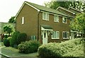
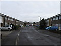
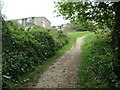
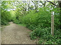
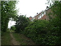
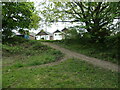
39 photos from this area
Area Information
Key information about the SO19 8LW including its size, population, and administrative classification.
- Area Type
- Postcode
- Area Size
- 6235 m²
- Population
- 1343
- Population Density
- 4969 people/km²
House Prices in SO19 8LW
9
Properties
£243,188
Average Sold Price
£165,000
Lowest Price
£320,000
Highest Price
Showing 9 properties
| Address | Type | Beds | Baths | Last Sale Price | Last Sale Date | |
|---|---|---|---|---|---|---|
| 194 South East Road, Southampton, SO19 8LW | Semi-detached | 3 | 1 | £292,000 | Nov 2024 | |
| 190 South East Road, Southampton, SO19 8LW | Detached | 3 | 1 | £320,000 | Jul 2023 | |
| 196 South East Road, Southampton, SO19 8LW | Semi-detached | 3 | 1 | £283,000 | Oct 2022 | |
| 188 South East Road, Southampton, SO19 8LW | Semi-detached | 3 | 1 | £232,000 | Sep 2018 | |
| 198 South East Road, Southampton, SO19 8LW | Semi-detached | 3 | - | £229,000 | Jul 2016 | |
| 192 South East Road, Southampton, SO19 8LW | Semi-detached | 3 | 1 | £212,000 | Jan 2016 | |
| 202 South East Road, Southampton, SO19 8LW | Semi-detached | 2 | - | £212,500 | Feb 2014 | |
| 200 South East Road, Southampton, SO19 8LW | Bungalow | - | - | £165,000 | Mar 2010 | |
| St Andrews Methodist Church, Hopscotch Day Nursey, South East Road, Southampton, SO19 8LW | commercial | - | - | - | - |
Energy Efficiency in SO19 8LW
Amenities
Schools
| Rank | School | Type | Entry gender | Ages |
|---|
Explore more schools in this area
Go to Schools tabDemographics
Household Size
One person
most common
Accommodation Type
Houses
most common
Tenure
67
majority
Ethnic Group
White
most common
Religion
N/A
most common
Household Composition
N/A
most common
Age
47
median
Adults (30-64 years)
most common
Household Deprivation
N/A
with no deprivation
NS-SEC
26
in Lower managerial occupations
Explore more demographic insights in this area
Go to Demographics tabPlanning
Planning Constraints
- Flood RiskPremium
- Ramsar Wetland SitesPremium
- Area of Outstanding Natural BeautyPremium
- Protected Nature ReservePremium
- Protected WoodlandPremium