Area Overview for SO19 1BH
Photos of SO19 1BH
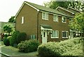
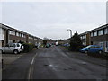
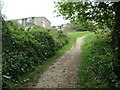
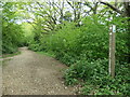
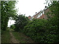
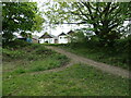
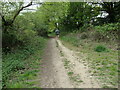
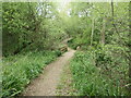
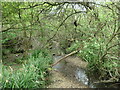
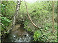
39 photos from this area
Area Information
Key information about the SO19 1BH including its size, population, and administrative classification.
- Area Type
- Postcode
- Area Size
- 8005 m²
- Population
- 1343
- Population Density
- 4969 people/km²
House Prices in SO19 1BH
24
Properties
£232,190
Average Sold Price
£126,950
Lowest Price
£378,500
Highest Price
Showing 24 properties
| Address | Type | Beds | Baths | Last Sale Price | Last Sale Date | |
|---|---|---|---|---|---|---|
| 86 Butts Road, Southampton, SO19 1BH | Detached | 3 | 2 | £360,000 | Sep 2025 | |
| 98 Butts Road, Southampton, SO19 1BH | Detached | 5 | 3 | £378,500 | Jun 2023 | |
| 96 Butts Road, Southampton, SO19 1BH | Detached | 3 | 1 | £250,000 | Jan 2021 | |
| 84 Butts Road, Southampton, SO19 1BH | Detached | 2 | 2 | £210,000 | May 2019 | |
| 78 Butts Road, Southampton, SO19 1BH | Detached | 3 | 1 | £262,500 | Mar 2017 | |
| 82 Butts Road, Southampton, SO19 1BH | Detached | 2 | 2 | £174,000 | Aug 2014 | |
| 80 Butts Road, Southampton, SO19 1BH | house | 3 | - | £225,000 | Oct 2012 | |
| 92 Butts Road, Southampton, SO19 1BH | house | - | - | £185,000 | Aug 2011 | |
| 72 Butts Road, Southampton, SO19 1BH | Detached | - | - | £149,950 | Oct 2002 | |
| 90 Butts Road, Southampton, SO19 1BH | Detached | - | - | £126,950 | Apr 2001 |
Page 1 of 3
Energy Efficiency in SO19 1BH
Amenities
Schools
| Rank | School | Type | Entry gender | Ages |
|---|
Explore more schools in this area
Go to Schools tabDemographics
Household Size
One person
most common
Accommodation Type
Houses
most common
Tenure
67
majority
Ethnic Group
White
most common
Religion
N/A
most common
Household Composition
N/A
most common
Age
47
median
Adults (30-64 years)
most common
Household Deprivation
N/A
with no deprivation
NS-SEC
26
in Lower managerial occupations
Explore more demographic insights in this area
Go to Demographics tabPlanning
Planning Constraints
- Flood RiskPremium
- Ramsar Wetland SitesPremium
- Area of Outstanding Natural BeautyPremium
- Protected Nature ReservePremium
- Protected WoodlandPremium