Area Overview for SO19 8JT
Photos of SO19 8JT
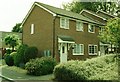
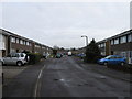
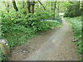
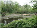
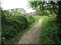
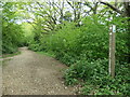
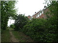
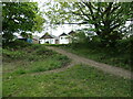
39 photos from this area
Area Information
Key information about the SO19 8JT including its size, population, and administrative classification.
- Area Type
- Postcode
- Area Size
- 4230 m²
- Population
- 1509
- Population Density
- 7241 people/km²
House Prices in SO19 8JT
18
Properties
£175,731
Average Sold Price
£47,000
Lowest Price
£280,000
Highest Price
Showing 18 properties
| Address | Type | Beds | Baths | Last Sale Price | Last Sale Date | |
|---|---|---|---|---|---|---|
| 98B South East Road, Southampton, SO19 8JT | Flat | 2 | 1 | £215,000 | Sep 2025 | |
| 102 South East Road, Southampton, SO19 8JT | Semi-detached | 2 | 1 | £278,000 | Sep 2025 | |
| 108 South East Road, Southampton, SO19 8JT | Retail | 3 | 1 | £280,000 | Jun 2023 | |
| 100A South East Road, Southampton, SO19 8JT | Semi-detached | 2 | 1 | £236,000 | Mar 2023 | |
| 104 South East Road, Southampton, SO19 8JT | house | 2 | - | £170,000 | Nov 2017 | |
| 84 South East Road, Southampton, SO19 8JT | Semi-detached | 3 | 1 | £250,500 | Oct 2017 | |
| 106 South East Road, Southampton, SO19 8JT | Semi-detached | 3 | - | £192,000 | May 2015 | |
| 96 South East Road, Southampton, SO19 8JT | house | 3 | 1 | £190,000 | Aug 2010 | |
| 92 South East Road, Southampton, SO19 8JT | Semi-detached | 3 | 1 | £162,000 | Jul 2009 | |
| 100 South East Road, Southampton, SO19 8JT | house | - | - | £125,000 | Sep 2006 |
Page 1 of 2
Energy Efficiency in SO19 8JT
Amenities
Schools
| Rank | School | Type | Entry gender | Ages |
|---|
Explore more schools in this area
Go to Schools tabDemographics
Household Size
Family (3-5 people)
most common
Accommodation Type
Houses
most common
Tenure
65
majority
Ethnic Group
White
most common
Religion
N/A
most common
Household Composition
N/A
most common
Age
47
median
Adults (30-64 years)
most common
Household Deprivation
N/A
with no deprivation
NS-SEC
27
in Lower managerial occupations
Explore more demographic insights in this area
Go to Demographics tabPlanning
Planning Constraints
- Flood RiskPremium
- Ramsar Wetland SitesPremium
- Area of Outstanding Natural BeautyPremium
- Protected Nature ReservePremium
- Protected WoodlandPremium