Area Overview for SO19 7LL
Photos of SO19 7LL
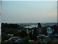
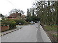
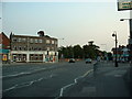
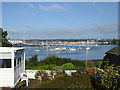

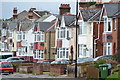
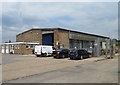
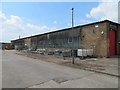
40 photos from this area
Area Information
Key information about the SO19 7LL including its size, population, and administrative classification.
- Area Type
- Postcode
- Area Size
- 4446 m²
- Population
- 1342
- Population Density
- 6164 people/km²
House Prices in SO19 7LL
19
Properties
£167,417
Average Sold Price
£33,000
Lowest Price
£229,500
Highest Price
Showing 19 properties
| Address | Type | Beds | Baths | Last Sale Price | Last Sale Date | |
|---|---|---|---|---|---|---|
| 150 Magnolia Road, Southampton, SO19 7LL | Terraced | 3 | 1 | £207,000 | Jun 2019 | |
| 138 Magnolia Road, Southampton, SO19 7LL | Semi-detached | 4 | - | £229,500 | Jan 2019 | |
| 156 Magnolia Road, Southampton, SO19 7LL | Terraced | 3 | 2 | £185,000 | Nov 2017 | |
| 138A Magnolia Road, Southampton, SO19 7LL | Detached | 3 | 1 | £190,000 | Feb 2016 | |
| 152 Magnolia Road, Southampton, SO19 7LL | Terraced | 3 | 1 | £160,000 | Dec 2014 | |
| 140 Magnolia Road, Southampton, SO19 7LL | house | - | - | £33,000 | Oct 1996 | |
| First Floor Flat, 168C Magnolia Road, Southampton, SO19 7LL | Flat | 1 | - | - | - | |
| 142 Magnolia Road, Southampton, SO19 7LL | Terraced | - | - | - | - | |
| 154 Magnolia Road, Southampton, SO19 7LL | Terraced | - | - | - | - | |
| 148 Magnolia Road, Southampton, SO19 7LL | Terraced | - | - | - | - |
Page 1 of 2
Energy Efficiency in SO19 7LL
Amenities
Schools
| Rank | School | Type | Entry gender | Ages |
|---|
Explore more schools in this area
Go to Schools tabDemographics
Household Size
Family (3-5 people)
most common
Accommodation Type
Houses
most common
Tenure
55
majority
Ethnic Group
White
most common
Religion
N/A
most common
Household Composition
N/A
most common
Age
47
median
Adults (30-64 years)
most common
Household Deprivation
N/A
with no deprivation
NS-SEC
21
in Lower managerial occupations
Explore more demographic insights in this area
Go to Demographics tabPlanning
Planning Constraints
- Flood RiskPremium
- Ramsar Wetland SitesPremium
- Area of Outstanding Natural BeautyPremium
- Protected Nature ReservePremium
- Protected WoodlandPremium