Area Overview for SO19 6RQ
Photos of SO19 6RQ
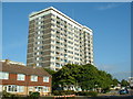
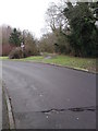
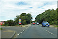
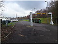
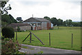
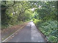
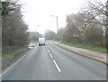

26 photos from this area
Area Information
Key information about the SO19 6RQ including its size, population, and administrative classification.
- Area Type
- Postcode
- Area Size
- 2.9 hectares
- Population
- 1692
- Population Density
- 4876 people/km²
House Prices in SO19 6RQ
53
Properties
£172,797
Average Sold Price
£55,000
Lowest Price
£315,000
Highest Price
Showing 53 properties
| Address | Type | Beds | Baths | Last Sale Price | Last Sale Date | |
|---|---|---|---|---|---|---|
| 11 Flint Close, Southampton, SO19 6RQ | Terraced | 2 | 1 | £250,000 | Nov 2025 | |
| 45 Flint Close, Southampton, SO19 6RQ | Detached | 3 | 2 | £310,000 | Nov 2025 | |
| 24 Flint Close, Southampton, SO19 6RQ | Terraced | 3 | 1 | £305,000 | Feb 2024 | |
| 15 Flint Close, Southampton, SO19 6RQ | Terraced | 2 | 2 | £242,500 | Feb 2024 | |
| 51 Flint Close, Southampton, SO19 6RQ | Terraced | 2 | 1 | £272,000 | Dec 2023 | |
| 50 Flint Close, Southampton, SO19 6RQ | Terraced | 2 | 1 | £247,000 | Aug 2023 | |
| 21 Flint Close, Southampton, SO19 6RQ | Terraced | 2 | 1 | £260,000 | Jul 2023 | |
| 26 Flint Close, Southampton, SO19 6RQ | Semi-detached | 3 | 2 | £315,000 | Apr 2023 | |
| 31 Flint Close, Southampton, SO19 6RQ | Semi-detached | 3 | 1 | £290,000 | Mar 2023 | |
| 28 Flint Close, Southampton, SO19 6RQ | Terraced | 2 | 1 | £254,000 | Feb 2023 |
Page 1 of 6
Energy Efficiency in SO19 6RQ
Amenities
Schools
| Rank | School | Type | Entry gender | Ages |
|---|
Explore more schools in this area
Go to Schools tabDemographics
Household Size
One person
most common
Accommodation Type
Flats
most common
Tenure
38
majority
Ethnic Group
White
most common
Religion
N/A
most common
Household Composition
N/A
most common
Age
47
median
Adults (30-64 years)
most common
Household Deprivation
N/A
with no deprivation
NS-SEC
22
in Lower managerial occupations
Explore more demographic insights in this area
Go to Demographics tabPlanning
Planning Constraints
- Flood RiskPremium
- Ramsar Wetland SitesPremium
- Area of Outstanding Natural BeautyPremium
- Protected Nature ReservePremium
- Protected WoodlandPremium