Area Overview for SO19 6PA
Photos of SO19 6PA
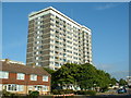
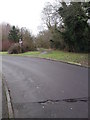
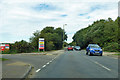
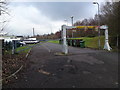
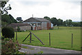

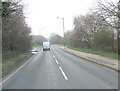

26 photos from this area
Area Information
Key information about the SO19 6PA including its size, population, and administrative classification.
- Area Type
- Postcode
- Area Size
- 1.7 hectares
- Population
- 1692
- Population Density
- 4876 people/km²
House Prices in SO19 6PA
100
Properties
£184,954
Average Sold Price
£45,950
Lowest Price
£265,000
Highest Price
Showing 100 properties
| Address | Type | Beds | Baths | Last Sale Price | Last Sale Date | |
|---|---|---|---|---|---|---|
| 23 Burgoyne Road, Southampton, SO19 6PA | Terraced | 3 | 1 | £240,000 | May 2025 | |
| 7 Burgoyne Road, Southampton, SO19 6PA | Flat | 2 | 1 | £115,000 | Feb 2025 | |
| 15 Burgoyne Road, Southampton, SO19 6PA | Terraced | 3 | 1 | £240,000 | Dec 2023 | |
| 21 Burgoyne Road, Southampton, SO19 6PA | Semi-detached | 3 | 1 | £260,000 | Apr 2022 | |
| 71 Burgoyne Road, Southampton, SO19 6PA | Terraced | 5 | 3 | £265,000 | Mar 2019 | |
| 81 Burgoyne Road, Southampton, SO19 6PA | house | - | - | £220,000 | Dec 2018 | |
| 89 Burgoyne Road, Southampton, SO19 6PA | Terraced | 3 | - | £181,500 | Nov 2014 | |
| 35 Burgoyne Road, Southampton, SO19 6PA | house | 3 | 1 | £170,000 | Aug 2012 | |
| 37 Burgoyne Road, Southampton, SO19 6PA | house | - | - | £152,000 | Apr 2008 | |
| 79 Burgoyne Road, Southampton, SO19 6PA | house | - | - | £163,000 | Oct 2007 |
Page 1 of 10
Energy Efficiency in SO19 6PA
Amenities
Schools
| Rank | School | Type | Entry gender | Ages |
|---|
Explore more schools in this area
Go to Schools tabDemographics
Household Size
One person
most common
Accommodation Type
Flats
most common
Tenure
38
majority
Ethnic Group
White
most common
Religion
N/A
most common
Household Composition
N/A
most common
Age
47
median
Adults (30-64 years)
most common
Household Deprivation
N/A
with no deprivation
NS-SEC
22
in Lower managerial occupations
Explore more demographic insights in this area
Go to Demographics tabPlanning
Planning Constraints
- Flood RiskPremium
- Ramsar Wetland SitesPremium
- Area of Outstanding Natural BeautyPremium
- Protected Nature ReservePremium
- Protected WoodlandPremium