Area Overview for SO19 0JH
Photos of SO19 0JH
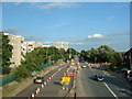
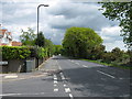

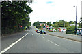
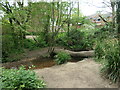
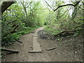
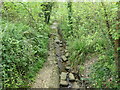
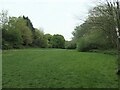
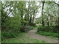
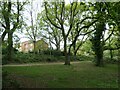
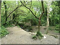
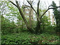
29 photos from this area
Area Information
Key information about the SO19 0JH including its size, population, and administrative classification.
- Area Type
- Postcode
- Area Size
- 1.1 hectares
- Population
- 1597
- Population Density
- 5557 people/km²
House Prices in SO19 0JH
20
Properties
£164,350
Average Sold Price
£73,000
Lowest Price
£300,000
Highest Price
Showing 20 properties
| Address | Type | Beds | Baths | Last Sale Price | Last Sale Date | |
|---|---|---|---|---|---|---|
| 32 Elgar Road, Southampton, SO19 0JH | Semi-detached | 3 | 1 | £300,000 | Sep 2022 | |
| 36 Elgar Road, Southampton, SO19 0JH | Semi-detached | 3 | - | £208,000 | Dec 2019 | |
| 34 Elgar Road, Southampton, SO19 0JH | Semi-detached | 3 | 1 | £176,000 | May 2016 | |
| 40 Elgar Road, Southampton, SO19 0JH | Semi-detached | 3 | 1 | £121,500 | Jul 2013 | |
| 12 Elgar Road, Southampton, SO19 0JH | Semi-detached | 3 | 1 | £152,000 | Mar 2007 | |
| 14 Elgar Road, Southampton, SO19 0JH | Semi-detached | - | - | £119,950 | Sep 2005 | |
| 8 Elgar Road, Southampton, SO19 0JH | house | - | - | £73,000 | Sep 2001 | |
| 26 Elgar Road, Southampton, SO19 0JH | Semi-detached | 3 | 1 | - | - | |
| 10 Elgar Road, Southampton, SO19 0JH | house | - | - | - | - | |
| 20 Elgar Road, Southampton, SO19 0JH | Semi-detached | - | - | - | - |
Page 1 of 2
Energy Efficiency in SO19 0JH
Amenities
Schools
| Rank | School | Type | Entry gender | Ages |
|---|
Explore more schools in this area
Go to Schools tabDemographics
Household Size
Family (3-5 people)
most common
Accommodation Type
Houses
most common
Tenure
57
majority
Ethnic Group
White
most common
Religion
N/A
most common
Household Composition
N/A
most common
Age
47
median
Adults (30-64 years)
most common
Household Deprivation
N/A
with no deprivation
NS-SEC
23
in Lower managerial occupations
Explore more demographic insights in this area
Go to Demographics tabPlanning
Planning Constraints
- Flood RiskPremium
- Ramsar Wetland SitesPremium
- Area of Outstanding Natural BeautyPremium
- Protected Nature ReservePremium
- Protected WoodlandPremium