Area Overview for SO18 5TS
Photos of SO18 5TS
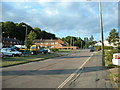
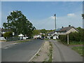
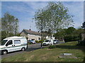
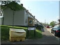
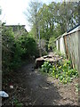
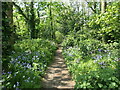
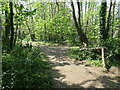
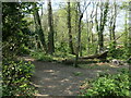
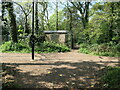
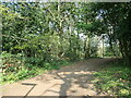
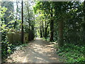
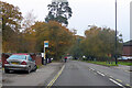
21 photos from this area
Area Information
Key information about the SO18 5TS including its size, population, and administrative classification.
- Area Type
- Postcode
- Area Size
- 1.3 hectares
- Population
- 1420
- Population Density
- 4457 people/km²
House Prices in SO18 5TS
21
Properties
£275,867
Average Sold Price
£80,000
Lowest Price
£450,000
Highest Price
Showing 21 properties
| Address | Type | Beds | Baths | Last Sale Price | Last Sale Date | |
|---|---|---|---|---|---|---|
| 120 Thornhill Park Road, Southampton, SO18 5TS | Semi-detached | 3 | 1 | £348,000 | Sep 2025 | |
| 108 Thornhill Park Road, Southampton, SO18 5TS | Semi-detached | 3 | 1 | £385,000 | Feb 2025 | |
| 74 Thornhill Park Road, Southampton, SO18 5TS | Bungalow | 3 | 1 | £290,000 | Apr 2024 | |
| 98 Thornhill Park Road, Southampton, SO18 5TS | Detached | 3 | 1 | £450,000 | Apr 2023 | |
| 124 Thornhill Park Road, Southampton, SO18 5TS | house | 3 | - | £316,000 | Dec 2022 | |
| 118 Thornhill Park Road, Southampton, SO18 5TS | house | - | - | £292,000 | Sep 2022 | |
| 106 Thornhill Park Road, Southampton, SO18 5TS | Semi-detached | 3 | 2 | £338,000 | Jun 2018 | |
| 104 Thornhill Park Road, Southampton, SO18 5TS | house | 3 | - | £316,000 | Aug 2017 | |
| 102 Thornhill Park Road, Southampton, SO18 5TS | Chalet | 4 | - | £320,000 | Oct 2014 | |
| 112 Thornhill Park Road, Southampton, SO18 5TS | house | - | - | £250,000 | Aug 2014 |
Page 1 of 3
Energy Efficiency in SO18 5TS
Amenities
Schools
| Rank | School | Type | Entry gender | Ages |
|---|
Explore more schools in this area
Go to Schools tabDemographics
Household Size
Two person
most common
Accommodation Type
Houses
most common
Tenure
76
majority
Ethnic Group
White
most common
Religion
N/A
most common
Household Composition
N/A
most common
Age
47
median
Adults (30-64 years)
most common
Household Deprivation
N/A
with no deprivation
NS-SEC
24
in Lower managerial occupations
Explore more demographic insights in this area
Go to Demographics tabPlanning
Planning Constraints
- Flood RiskPremium
- Ramsar Wetland SitesPremium
- Area of Outstanding Natural BeautyPremium
- Protected Nature ReservePremium
- Protected WoodlandPremium