Area Overview for SO17 1SS
Photos of SO17 1SS
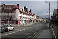
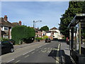
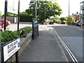
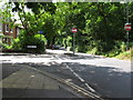
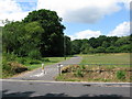
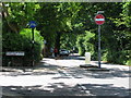
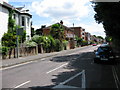
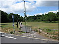
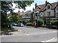
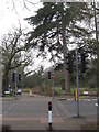
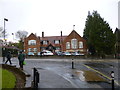
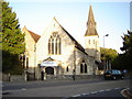
87 photos from this area
Area Information
Key information about the SO17 1SS including its size, population, and administrative classification.
- Area Type
- Postcode
- Area Size
- 4467 m²
- Population
- 2210
- Population Density
- 2358 people/km²
House Prices in SO17 1SS
20
Properties
£359,167
Average Sold Price
£221,000
Lowest Price
£445,000
Highest Price
Showing 20 properties
| Address | Type | Beds | Baths | Last Sale Price | Last Sale Date | |
|---|---|---|---|---|---|---|
| 52 Welbeck Avenue, Southampton, SO17 1SS | house | - | - | £445,000 | Mar 2020 | |
| 44 Welbeck Avenue, Southampton, SO17 1SS | Detached | 1 | 2 | £410,000 | Feb 2010 | |
| 50 Welbeck Avenue, Southampton, SO17 1SS | house | - | - | £359,000 | Oct 2009 | |
| 54 Welbeck Avenue, Southampton, SO17 1SS | Semi-detached | - | - | £395,000 | Nov 2007 | |
| 46 Welbeck Avenue, Southampton, SO17 1SS | house | - | - | £325,000 | Nov 2005 | |
| 48 Welbeck Avenue, Southampton, SO17 1SS | Semi-detached | - | - | £221,000 | Jan 2002 | |
| Flat 1, 60 Welbeck Avenue, Southampton, SO17 1SS | Flat | 2 | 1 | - | - | |
| Flat 2, 60 Welbeck Avenue, Southampton, SO17 1SS | Maisonette | 3 | 1 | - | - | |
| Flat 6, 58 Welbeck Avenue, Southampton, SO17 1SS | Flat | - | - | - | - | |
| Flat 3, 58 Welbeck Avenue, Southampton, SO17 1SS | Flat | - | - | - | - |
Page 1 of 2
Energy Efficiency in SO17 1SS
Amenities
Schools
| Rank | School | Type | Entry gender | Ages |
|---|
Explore more schools in this area
Go to Schools tabDemographics
Household Size
Family (3-5 people)
most common
Accommodation Type
Houses
most common
Tenure
58
majority
Ethnic Group
White
most common
Religion
N/A
most common
Household Composition
N/A
most common
Age
22
median
Young Adults (15-29 years)
most common
Household Deprivation
N/A
with no deprivation
NS-SEC
38
in Lower managerial occupations
Explore more demographic insights in this area
Go to Demographics tabPlanning
Planning Constraints
- Flood RiskPremium
- Ramsar Wetland SitesPremium
- Area of Outstanding Natural BeautyPremium
- Protected Nature ReservePremium
- Protected WoodlandPremium