Area Overview for SO17 3RT
Photos of SO17 3RT
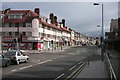
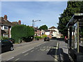
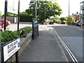
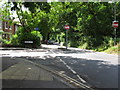
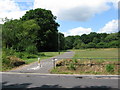
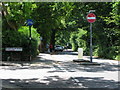
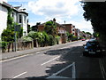
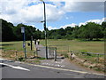
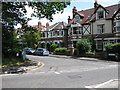
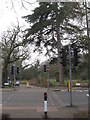
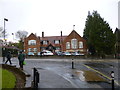
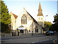
87 photos from this area
Area Information
Key information about the SO17 3RT including its size, population, and administrative classification.
- Area Type
- Postcode
- Area Size
- 1.6 hectares
- Population
- 1729
- Population Density
- 7603 people/km²
House Prices in SO17 3RT
34
Properties
£336,254
Average Sold Price
£79,900
Lowest Price
£480,000
Highest Price
Showing 34 properties
| Address | Type | Beds | Baths | Last Sale Price | Last Sale Date | |
|---|---|---|---|---|---|---|
| 86 Upper Shaftesbury Avenue, Southampton, SO17 3RT | house | - | - | £427,000 | May 2024 | |
| 104 Upper Shaftesbury Avenue, Southampton, SO17 3RT | house | 4 | - | £480,000 | Aug 2023 | |
| 118 Upper Shaftesbury Avenue, Southampton, SO17 3RT | house | - | - | £400,000 | Jan 2022 | |
| 110 Upper Shaftesbury Avenue, Southampton, SO17 3RT | Semi-detached | 3 | 1 | £320,000 | Sep 2018 | |
| 100 Upper Shaftesbury Avenue, Southampton, SO17 3RT | Detached | 4 | 1 | £368,000 | Dec 2017 | |
| 96 Upper Shaftesbury Avenue, Southampton, SO17 3RT | house | 5 | - | £415,000 | May 2016 | |
| 108 Upper Shaftesbury Avenue, Southampton, SO17 3RT | Semi-detached | 6 | 2 | £366,500 | Jul 2015 | |
| 78 Upper Shaftesbury Avenue, Southampton, SO17 3RT | Semi-detached | 6 | - | £415,000 | Dec 2010 | |
| 94 Upper Shaftesbury Avenue, Southampton, SO17 3RT | Semi-detached | - | - | £273,750 | Aug 2003 | |
| 90 Upper Shaftesbury Avenue, Southampton, SO17 3RT | house | - | - | £299,950 | Aug 2002 |
Page 1 of 4
Energy Efficiency in SO17 3RT
Amenities
Schools
| Rank | School | Type | Entry gender | Ages |
|---|
Explore more schools in this area
Go to Schools tabDemographics
Household Size
Family (3-5 people)
most common
Accommodation Type
Houses
most common
Tenure
35
majority
Ethnic Group
White
most common
Religion
N/A
most common
Household Composition
N/A
most common
Age
22
median
Young Adults (15-29 years)
most common
Household Deprivation
N/A
with no deprivation
NS-SEC
24
in Lower managerial occupations
Explore more demographic insights in this area
Go to Demographics tabPlanning
Planning Constraints
- Flood RiskPremium
- Ramsar Wetland SitesPremium
- Area of Outstanding Natural BeautyPremium
- Protected Nature ReservePremium
- Protected WoodlandPremium