Area Overview for SO16 8AF
Photos of SO16 8AF
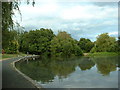
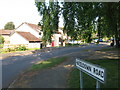
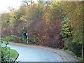
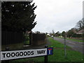
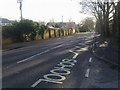
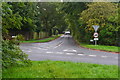
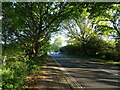
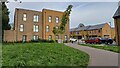
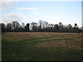
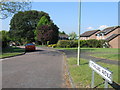
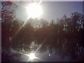
32 photos from this area
Area Information
Key information about the SO16 8AF including its size, population, and administrative classification.
- Area Type
- Postcode
- Area Size
- 2.1 hectares
- Population
- 1819
- Population Density
- 118 people/km²
House Prices in SO16 8AF
25
Properties
£369,088
Average Sold Price
£109,500
Lowest Price
£635,000
Highest Price
Showing 25 properties
| Address | Type | Beds | Baths | Last Sale Price | Last Sale Date | |
|---|---|---|---|---|---|---|
| 1 Rownhams Close, Rownhams, SO16 8AF | Bungalow | 3 | 2 | £625,000 | Jan 2025 | |
| Bel Air, 8 Rownhams Close, Rownhams, SO16 8AF | Bungalow | 4 | 2 | £635,000 | Mar 2024 | |
| 9 Rownhams Close, Rownhams, SO16 8AF | Detached | - | - | £480,000 | Mar 2024 | |
| 3 Rownhams Close, Rownhams, SO16 8AF | Bungalow | 3 | 2 | £525,000 | Dec 2023 | |
| 21 Rownhams Close, Rownhams, SO16 8AF | house | - | - | £520,000 | Sep 2021 | |
| Kaos, 22 Rownhams Close, Rownhams, SO16 8AF | Bungalow | - | - | £419,000 | Apr 2017 | |
| 24 Rownhams Close, Rownhams, SO16 8AF | Bungalow | - | - | £425,000 | Mar 2017 | |
| 26 Rownhams Close, Rownhams, SO16 8AF | Bungalow | 3 | 2 | £325,000 | Nov 2012 | |
| 11 Rownhams Close, Rownhams, SO16 8AF | Bungalow | 4 | - | £390,000 | Mar 2012 | |
| 6 Rownhams Close, Rownhams, SO16 8AF | Detached | - | - | £340,000 | Sep 2007 |
Page 1 of 3
Energy Efficiency in SO16 8AF
Amenities
Schools
| Rank | School | Type | Entry gender | Ages |
|---|
Explore more schools in this area
Go to Schools tabDemographics
Household Size
Two person
most common
Accommodation Type
Houses
most common
Tenure
86
majority
Ethnic Group
White
most common
Religion
N/A
most common
Household Composition
N/A
most common
Age
47
median
Adults (30-64 years)
most common
Household Deprivation
N/A
with no deprivation
NS-SEC
45
in Lower managerial occupations
Explore more demographic insights in this area
Go to Demographics tabPlanning
Planning Constraints
- Flood RiskPremium
- Ramsar Wetland SitesPremium
- Area of Outstanding Natural BeautyPremium
- Protected Nature ReservePremium
- Protected WoodlandPremium