Area Overview for SO14 6UP
Photos of SO14 6UP
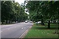
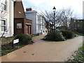
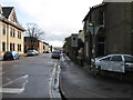
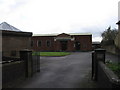
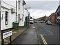
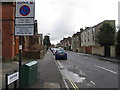
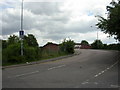
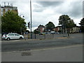
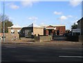

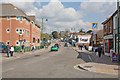
100 photos from this area
Area Information
Key information about the SO14 6UP including its size, population, and administrative classification.
- Area Type
- Postcode
- Area Size
- 9889 m²
- Population
- 1484
- Population Density
- 12502 people/km²
House Prices in SO14 6UP
56
Properties
£174,355
Average Sold Price
£41,750
Lowest Price
£450,000
Highest Price
Showing 56 properties
| Address | Type | Beds | Baths | Last Sale Price | Last Sale Date | |
|---|---|---|---|---|---|---|
| 20 Alma Road, Southampton, SO14 6UP | Semi-detached | 8 | - | £450,000 | May 2024 | |
| 6 Alma Road, Southampton, SO14 6UP | Flat | 2 | 1 | £250,000 | Jun 2014 | |
| 32 Alma Road, Southampton, SO14 6UP | Semi-detached | 9 | 2 | £325,000 | Mar 2008 | |
| 34 Alma Road, Southampton, SO14 6UP | Semi-detached | 6 | 2 | £320,000 | Nov 2004 | |
| 52 Alma Road, Southampton, SO14 6UP | Semi-detached | - | - | £70,000 | Jul 2000 | |
| 36 Alma Road, Southampton, SO14 6UP | house | - | - | £85,000 | Jun 1999 | |
| 4 Alma Road, Southampton, SO14 6UP | Semi-detached | 1 | 1 | £131,000 | Jun 1999 | |
| 10 Alma Road, Southampton, SO14 6UP | Semi-detached | 5 | 2 | £100,000 | Dec 1997 | |
| 48 Alma Road, Southampton, SO14 6UP | house | - | - | £75,150 | Mar 1997 | |
| 40 Alma Road, Southampton, SO14 6UP | house | - | - | £70,000 | Dec 1995 |
Page 1 of 6
Energy Efficiency in SO14 6UP
Amenities
Schools
| Rank | School | Type | Entry gender | Ages |
|---|
Explore more schools in this area
Go to Schools tabDemographics
Household Size
Family (3-5 people)
most common
Accommodation Type
Houses
most common
Tenure
19
majority
Ethnic Group
White
most common
Religion
N/A
most common
Household Composition
N/A
most common
Age
22
median
Young Adults (15-29 years)
most common
Household Deprivation
N/A
with no deprivation
NS-SEC
14
in Lower managerial occupations
Explore more demographic insights in this area
Go to Demographics tabPlanning
Planning Constraints
- Flood RiskPremium
- Ramsar Wetland SitesPremium
- Area of Outstanding Natural BeautyPremium
- Protected Nature ReservePremium
- Protected WoodlandPremium