Area Overview for SN7 7PB
Photos of SN7 7PB
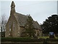
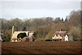
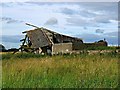
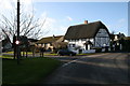
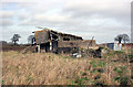
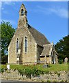
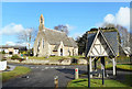
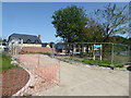
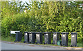
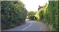
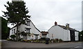
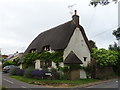
37 photos from this area
Area Information
Key information about the SN7 7PB including its size, population, and administrative classification.
- Area Type
- Postcode
- Area Size
- 1.3 hectares
- Population
- 2557
- Population Density
- 31 people/km²
House Prices in SN7 7PB
11
Properties
£467,600
Average Sold Price
£250,000
Lowest Price
£640,000
Highest Price
Showing 11 properties
| Address | Type | Beds | Baths | Last Sale Price | Last Sale Date | |
|---|---|---|---|---|---|---|
| Ridgeway, Church Lane, Fernham, Faringdon, SN7 7PB | Bungalow | - | - | £350,000 | Feb 2020 | |
| The Thatchets, Church Lane, Fernham, Faringdon, SN7 7PB | Detached | 5 | 3 | £640,000 | Jan 2020 | |
| Downlands, Church Lane, Fernham, Faringdon, SN7 7PB | Bungalow | 3 | 2 | £460,000 | Oct 2019 | |
| Sunny View, Church Lane, Fernham, Faringdon, SN7 7PB | Semi-detached | 5 | 3 | £638,000 | Apr 2013 | |
| Brackenwood, Church Lane, Fernham, Faringdon, SN7 7PB | house | - | - | £250,000 | Jun 2009 | |
| Boscreeg, Church Lane, Fernham, Faringdon, SN7 7PB | Detached | 3 | 2 | - | - | |
| 1 Church Lane, Fernham, Faringdon, SN7 7PB | Semi-detached | - | - | - | - | |
| Ar Tig, Church Lane, Fernham, Faringdon, SN7 7PB | Detached | - | - | - | - | |
| Boxtree Cottage, Church Lane, Fernham, Faringdon, SN7 7PB | Detached | - | - | - | - | |
| 2 Church Lane, Fernham, Faringdon, SN7 7PB | Semi-detached | - | - | - | - |
Page 1 of 2
Energy Efficiency in SN7 7PB
Amenities
Schools
| Rank | School | Type | Entry gender | Ages |
|---|
Explore more schools in this area
Go to Schools tabDemographics
Household Size
Two person
most common
Accommodation Type
Houses
most common
Tenure
69
majority
Ethnic Group
White
most common
Religion
N/A
most common
Household Composition
N/A
most common
Age
47
median
Adults (30-64 years)
most common
Household Deprivation
N/A
with no deprivation
NS-SEC
45
in Lower managerial occupations
Explore more demographic insights in this area
Go to Demographics tabPlanning
Planning Constraints
- Flood RiskPremium
- Ramsar Wetland SitesPremium
- Area of Outstanding Natural BeautyPremium
- Protected Nature ReservePremium
- Protected WoodlandPremium