Area Overview for SN7 7NT
Photos of SN7 7NT
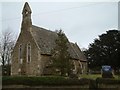
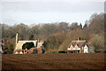
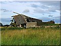
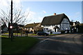
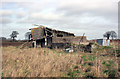
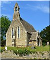
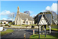
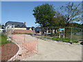
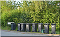
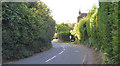
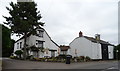
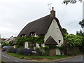
37 photos from this area
Area Information
Key information about the SN7 7NT including its size, population, and administrative classification.
- Area Type
- Postcode
- Area Size
- 2.1 hectares
- Population
- 2557
- Population Density
- 31 people/km²
House Prices in SN7 7NT
13
Properties
£485,556
Average Sold Price
£270,000
Lowest Price
£720,000
Highest Price
Showing 13 properties
| Address | Type | Beds | Baths | Last Sale Price | Last Sale Date | |
|---|---|---|---|---|---|---|
| Keepers Cottage, The Green, Fernham, Faringdon, SN7 7NT | Cottage | 3 | 2 | £585,000 | Sep 2025 | |
| The Old Manor House, The Green, Fernham, Faringdon, SN7 7NT | undefined | - | - | £585,000 | May 2023 | |
| Peach Cottage, The Green, Fernham, Faringdon, SN7 7NT | Cottage | 2 | 1 | £440,000 | Dec 2021 | |
| 3 Bakers Square, Fernham, Faringdon, SN7 7NT | Detached | 4 | 3 | £720,000 | Jan 2016 | |
| Goldsmiths, The Green, Fernham, Faringdon, SN7 7NT | Bungalow | 1 | - | £330,000 | Sep 2012 | |
| 4 Bakers Square, Fernham, Faringdon, SN7 7NT | house | 4 | - | £585,000 | Jul 2010 | |
| Apple Tree Cottage, The Green, Fernham, Faringdon, SN7 7NT | Detached | - | - | £270,000 | Jul 2009 | |
| Corner Cottage, The Green, Fernham, Faringdon, SN7 7NT | Detached | - | - | £370,000 | May 2009 | |
| Willow Brook, The Green, Fernham, Faringdon, SN7 7NT | Detached | - | - | £485,000 | Aug 2007 | |
| 1 Bakers Square, Fernham, Faringdon, SN7 7NT | Detached | 4 | 3 | - | - |
Page 1 of 2
Energy Efficiency in SN7 7NT
Amenities
Schools
| Rank | School | Type | Entry gender | Ages |
|---|
Explore more schools in this area
Go to Schools tabDemographics
Household Size
Two person
most common
Accommodation Type
Houses
most common
Tenure
69
majority
Ethnic Group
White
most common
Religion
N/A
most common
Household Composition
N/A
most common
Age
47
median
Adults (30-64 years)
most common
Household Deprivation
N/A
with no deprivation
NS-SEC
45
in Lower managerial occupations
Explore more demographic insights in this area
Go to Demographics tabPlanning
Planning Constraints
- Flood RiskPremium
- Ramsar Wetland SitesPremium
- Area of Outstanding Natural BeautyPremium
- Protected Nature ReservePremium
- Protected WoodlandPremium