Area Overview for SN6 7PR
Photos of SN6 7PR
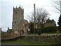
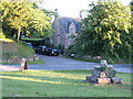
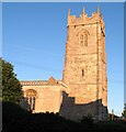
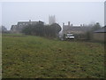
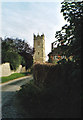
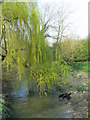
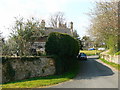
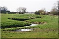
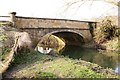
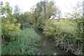
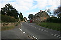
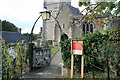
100 photos from this area
Area Information
Key information about the SN6 7PR including its size, population, and administrative classification.
- Area Type
- Postcode
- Area Size
- 53.3 hectares
- Population
- 2351
- Population Density
- 66 people/km²
House Prices in SN6 7PR
46
Properties
£545,000
Average Sold Price
£350,000
Lowest Price
£665,000
Highest Price
Showing 46 properties
| Address | Type | Beds | Baths | Last Sale Price | Last Sale Date | |
|---|---|---|---|---|---|---|
| School House, 44 School Lane, Coleshill, Swindon, SN6 7PR | Semi-detached | 3 | 1 | £665,000 | Feb 2025 | |
| 16 Section Of B 4019 Running Through Coleshill, Coleshill, Swindon, SN6 7PR | Semi-detached | 2 | 1 | £350,000 | Jan 2015 | |
| Rectory Cottage, Section Of B 4019 Running Through Coleshill, Coleshill, Swindon, SN6 7PR | house | - | - | £620,000 | Dec 2013 | |
| Top Lodge Coleshill Park, Section Of B 4019 Running Through Coleshill, Coleshill, Swindon, SN6 7PR | Detached | - | - | - | - | |
| 38 School Lane, Coleshill, Swindon, SN6 7PR | house | - | - | - | - | |
| 37 Section Of B 4019 Running Through Coleshill, Coleshill, Swindon, SN6 7PR | Terraced | - | - | - | - | |
| The Old Post Office, 45 Section Of B 4019 Running Through Coleshill, Coleshill, Swindon, SN6 7PR | house | - | - | - | - | |
| 33 Section Of B 4019 Running Through Coleshill, Coleshill, Swindon, SN6 7PR | Semi-detached | - | - | - | - | |
| 30 Section Of B 4019 Running Through Coleshill, Coleshill, Swindon, SN6 7PR | house | - | - | - | - | |
| 23 Church Lane, Coleshill, Swindon, SN6 7PR | house | - | - | - | - |
Page 1 of 5
Energy Efficiency in SN6 7PR
Amenities
Schools
| Rank | School | Type | Entry gender | Ages |
|---|
Explore more schools in this area
Go to Schools tabDemographics
Household Size
Two person
most common
Accommodation Type
Houses
most common
Tenure
69
majority
Ethnic Group
White
most common
Religion
N/A
most common
Household Composition
N/A
most common
Age
47
median
Adults (30-64 years)
most common
Household Deprivation
N/A
with no deprivation
NS-SEC
48
in Lower managerial occupations
Explore more demographic insights in this area
Go to Demographics tabPlanning
Planning Constraints
- Flood RiskPremium
- Ramsar Wetland SitesPremium
- Area of Outstanding Natural BeautyPremium
- Protected Nature ReservePremium
- Protected WoodlandPremium