Area Overview for SM7 2JR
Photos of SM7 2JR
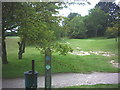
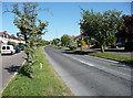
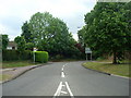
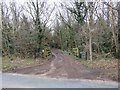
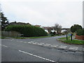
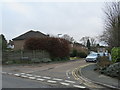
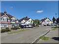
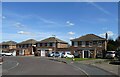
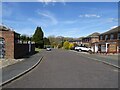
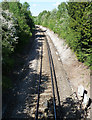
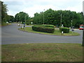
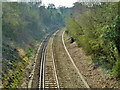
33 photos from this area
Area Information
Key information about the SM7 2JR including its size, population, and administrative classification.
- Area Type
- Postcode
- Area Size
- 11.0 hectares
- Population
- 2330
- Population Density
- 1307 people/km²
House Prices in SM7 2JR
27
Properties
£451,811
Average Sold Price
£155,000
Lowest Price
£900,000
Highest Price
Showing 27 properties
| Address | Type | Beds | Baths | Last Sale Price | Last Sale Date | |
|---|---|---|---|---|---|---|
| 19 Commonfield Road, Banstead, SM7 2JR | Semi-detached | 4 | 2 | £780,000 | Mar 2024 | |
| 7 Commonfield Road, Banstead, SM7 2JR | Semi-detached | 4 | 1 | £790,000 | Sep 2023 | |
| 45 Commonfield Road, Banstead, SM7 2JR | Semi-detached | 3 | 1 | £900,000 | Feb 2022 | |
| 29 Commonfield Road, Banstead, SM7 2JR | house | - | - | £685,000 | Jan 2021 | |
| 21 Commonfield Road, Banstead, SM7 2JR | Semi-detached | 4 | 2 | £720,000 | May 2020 | |
| 9 Commonfield Road, Banstead, SM7 2JR | Semi-detached | 4 | 2 | £632,000 | Mar 2018 | |
| 15 Commonfield Road, Banstead, SM7 2JR | house | - | - | £583,500 | Oct 2015 | |
| 17 Commonfield Road, Banstead, SM7 2JR | house | - | - | £480,000 | Jul 2013 | |
| 49 Commonfield Road, Banstead, SM7 2JR | house | - | - | £397,500 | May 2010 | |
| 23 Commonfield Road, Banstead, SM7 2JR | house | - | - | £332,000 | Nov 2009 |
Page 1 of 3
Energy Efficiency in SM7 2JR
Amenities
Schools
| Rank | School | Type | Entry gender | Ages |
|---|
Explore more schools in this area
Go to Schools tabDemographics
Household Size
Family (3-5 people)
most common
Accommodation Type
Houses
most common
Tenure
98
majority
Ethnic Group
White
most common
Religion
N/A
most common
Household Composition
N/A
most common
Age
47
median
Adults (30-64 years)
most common
Household Deprivation
N/A
with no deprivation
NS-SEC
26
in Lower managerial occupations
Explore more demographic insights in this area
Go to Demographics tabPlanning
Planning Constraints
- Flood RiskPremium
- Ramsar Wetland SitesPremium
- Area of Outstanding Natural BeautyPremium
- Protected Nature ReservePremium
- Protected WoodlandPremium